
SERVICES
TRUSTED HYDROGRAPHIC & COASTAL SURVEY SERVICES SINCE 1998
Shoreline Surveys is a specialist hydrographic and coastal survey company – not a generalist practice. Everything we do is focused on the water environment, and every piece of equipment we use is owned, maintained, and operated by our own experienced team. That means we know our kit inside out, understand its limitations, and deploy it correctly and confidently on every project.
From open coastline to tidal harbour, reservoir to riverbed, we provide the full range of inshore hydrographic, geophysical, and remote sensing survey services – delivering clean, accurate, georeferenced data that clients can act on.
Not sure which survey type you need? Get in touch and we’ll point you in the right direction.
OUR SERVICES
Multibeam Bathymetric Surveys
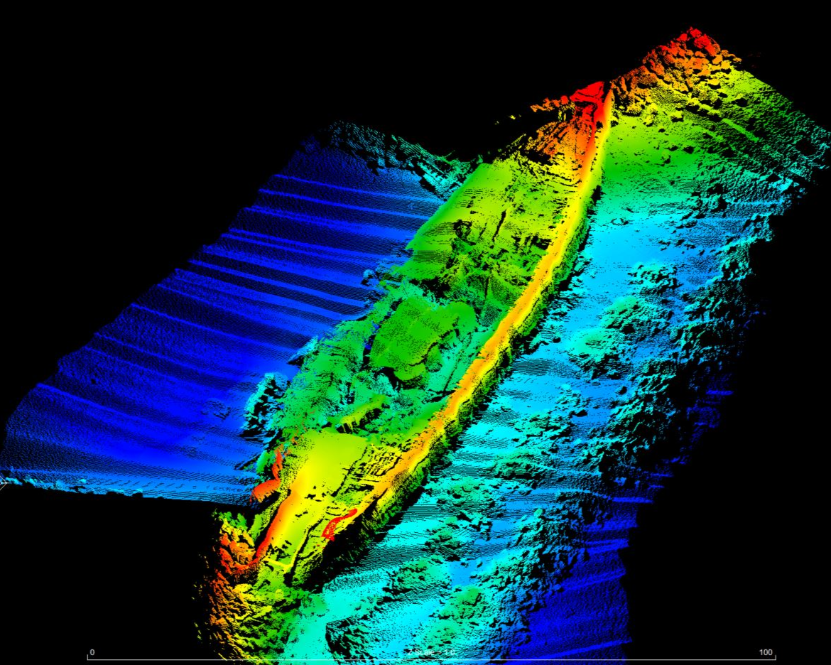
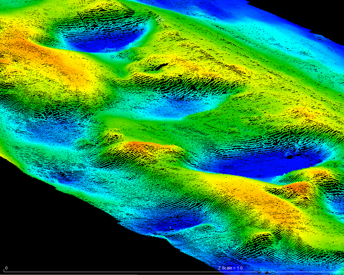
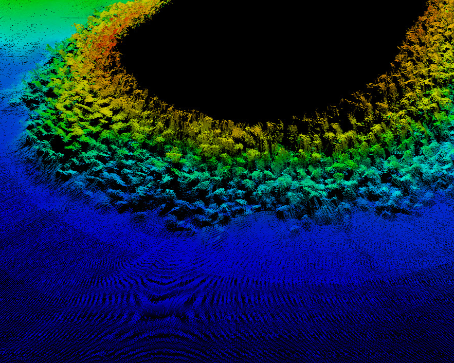
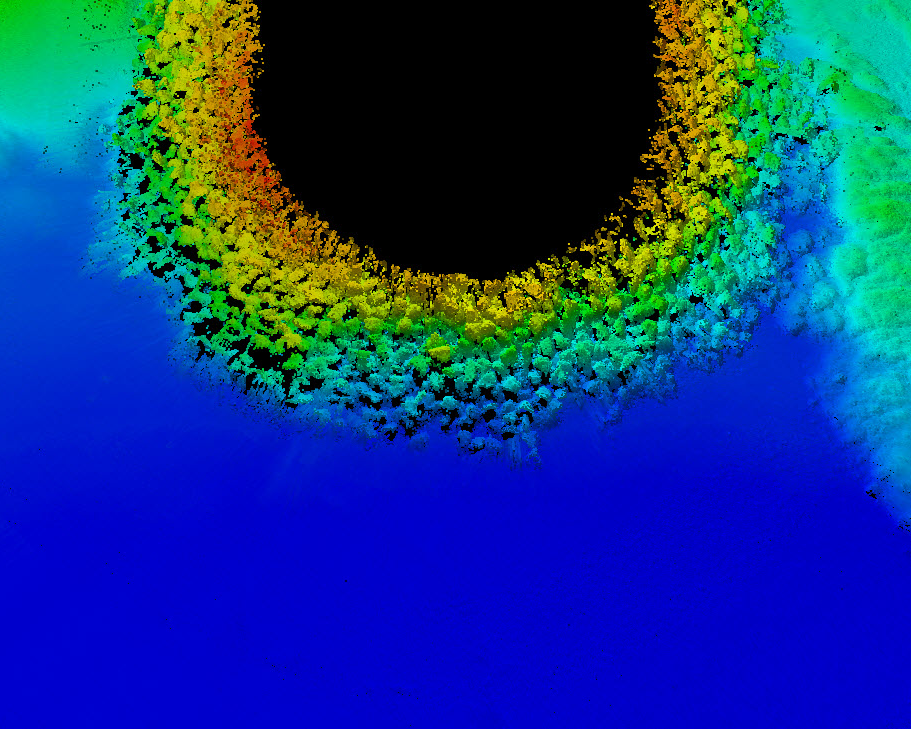
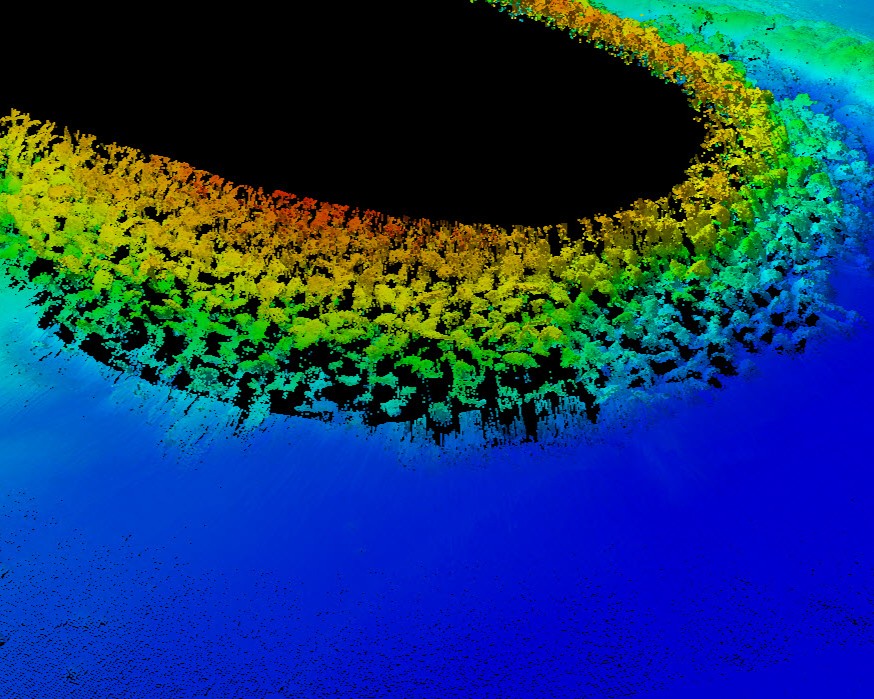
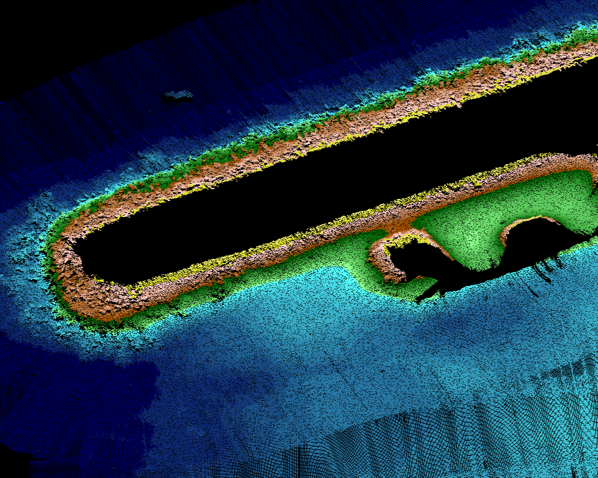
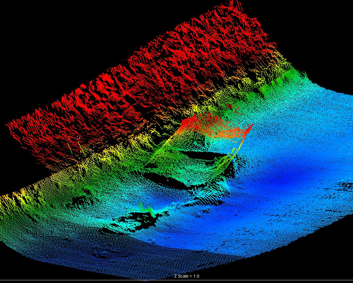
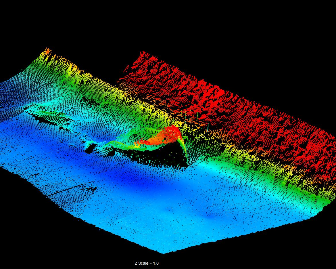
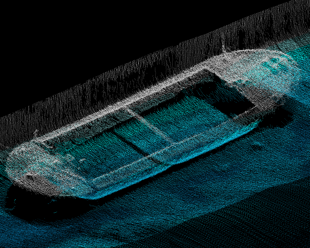
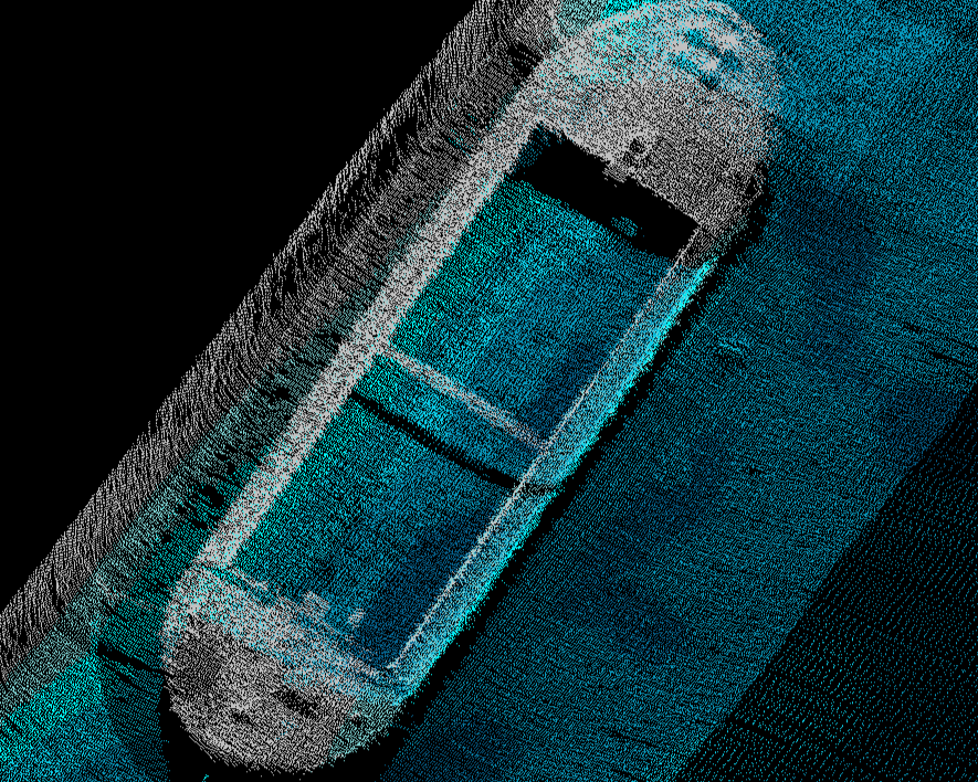
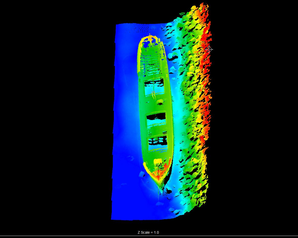
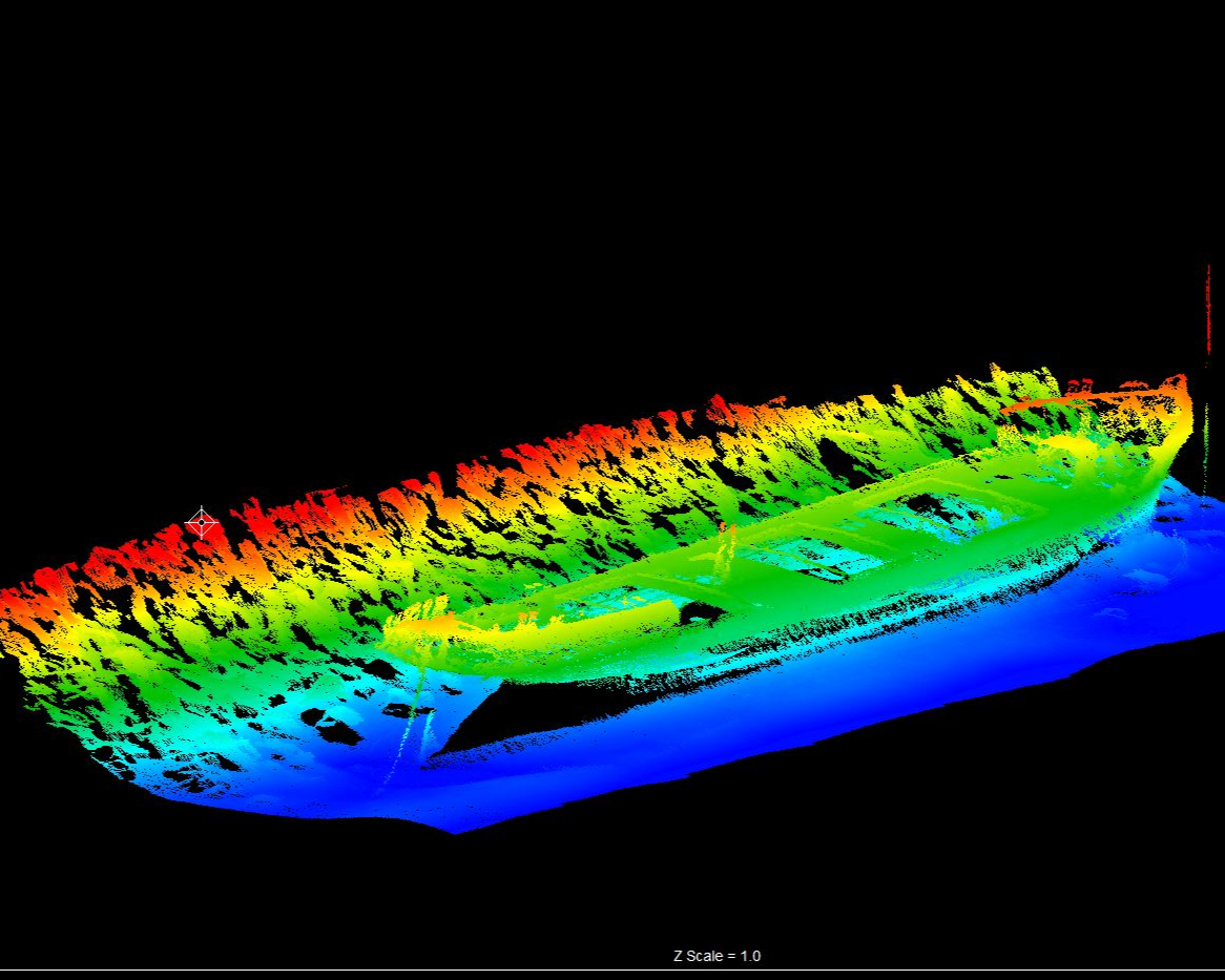
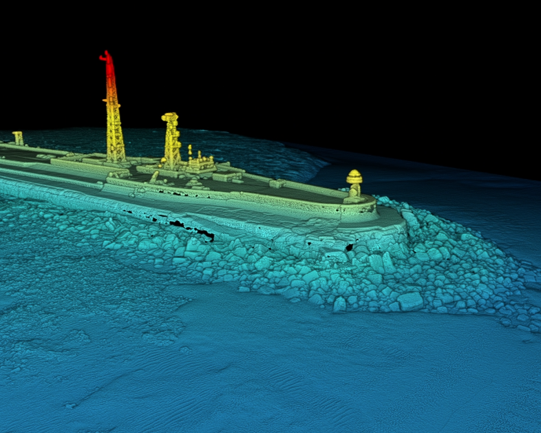
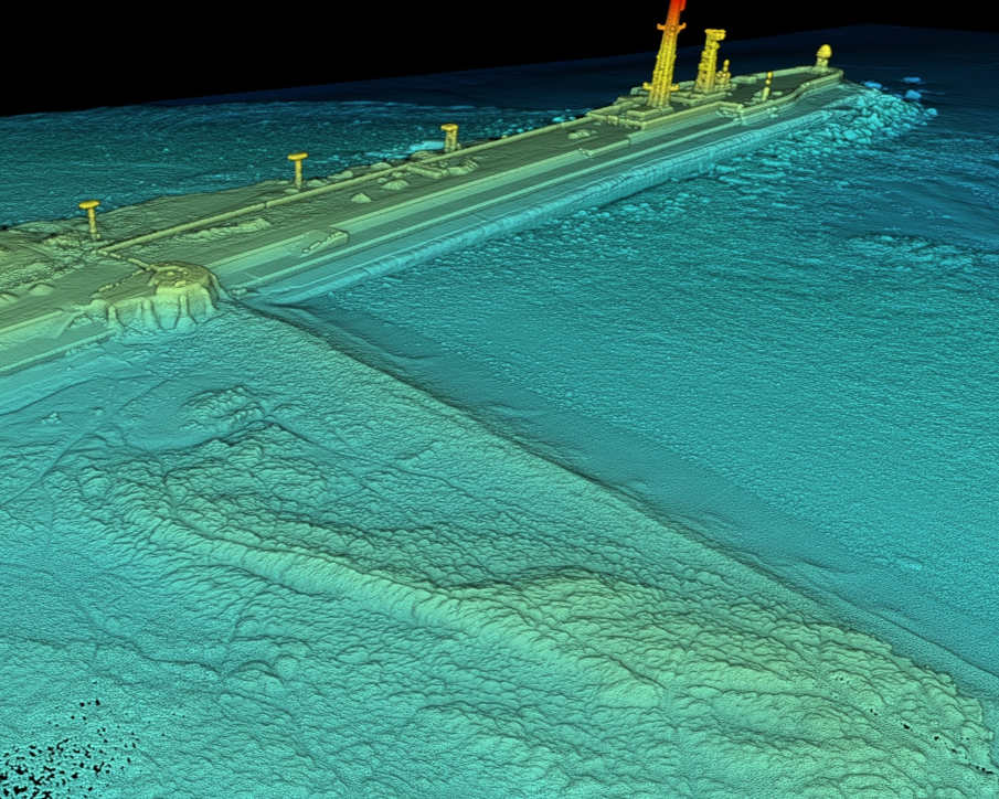
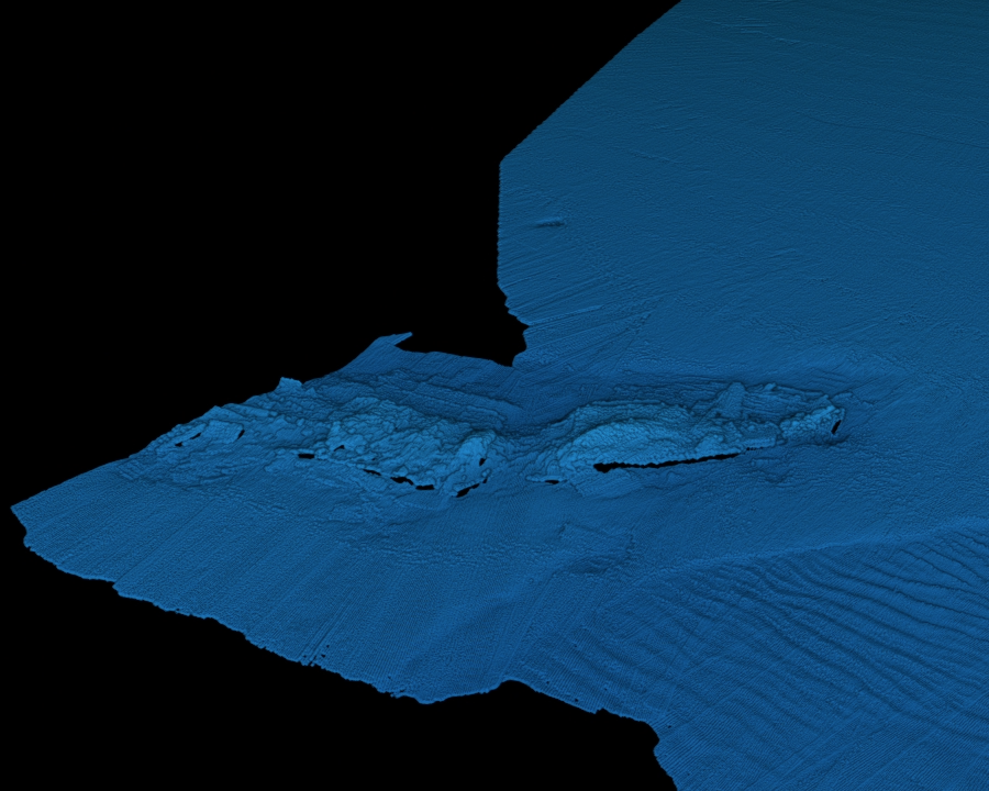
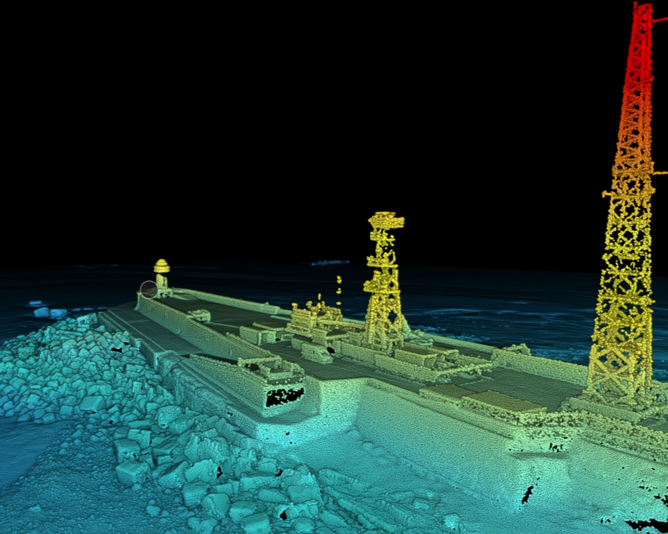
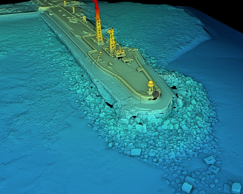
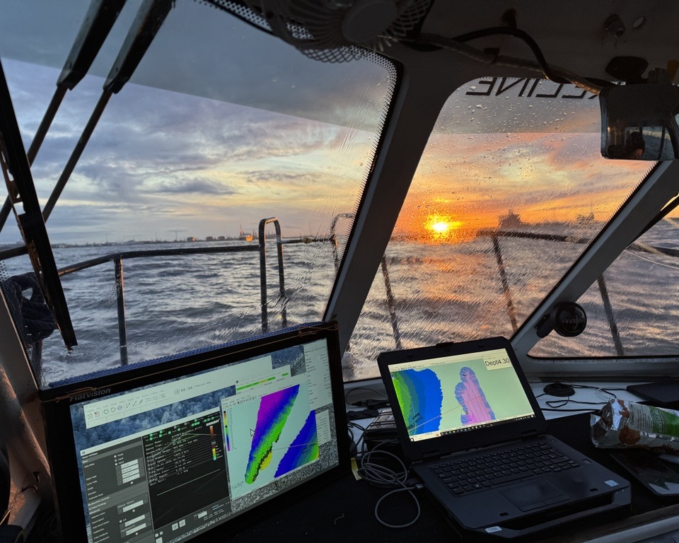
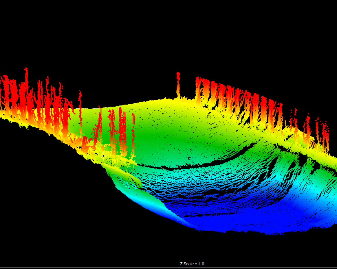
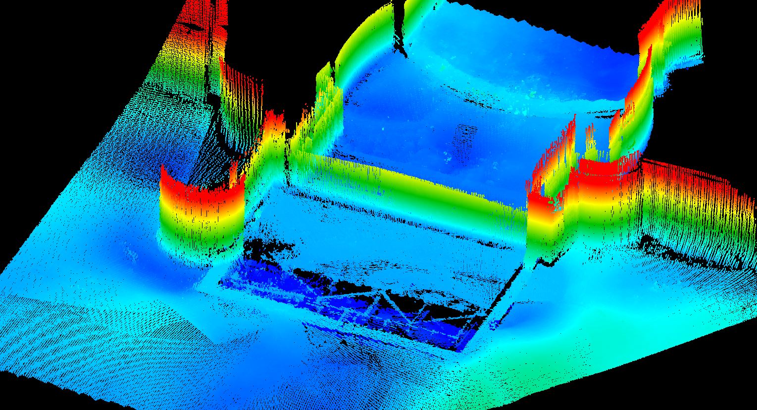
Multibeam echo sounding is the gold standard for full-coverage seabed mapping, using a swath of acoustic pulses to deliver near 100% sounding coverage across the survey area. The result is a high-density, georeferenced bathymetric dataset – typically output on a 0.5m grid – giving port operators, harbour authorities, and marine contractors a precise and complete picture of seabed levels, scour, mounding, and underwater structure.
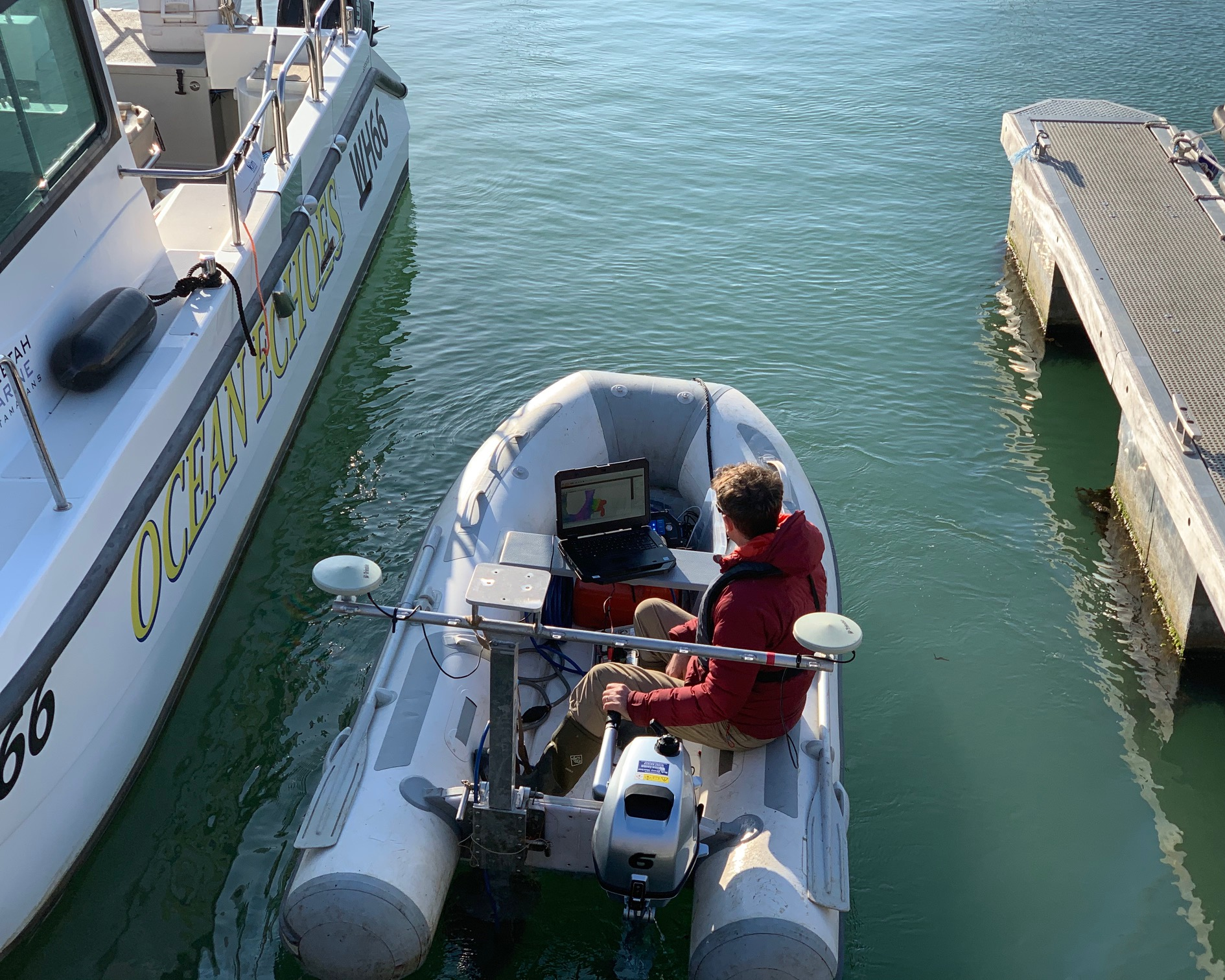
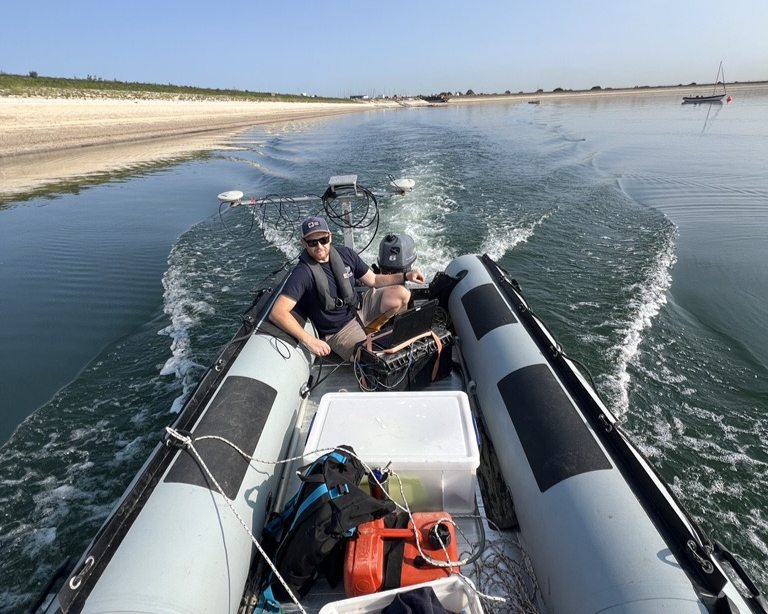
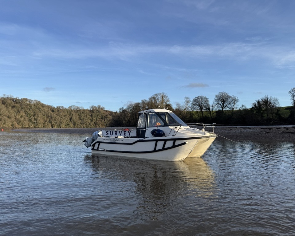
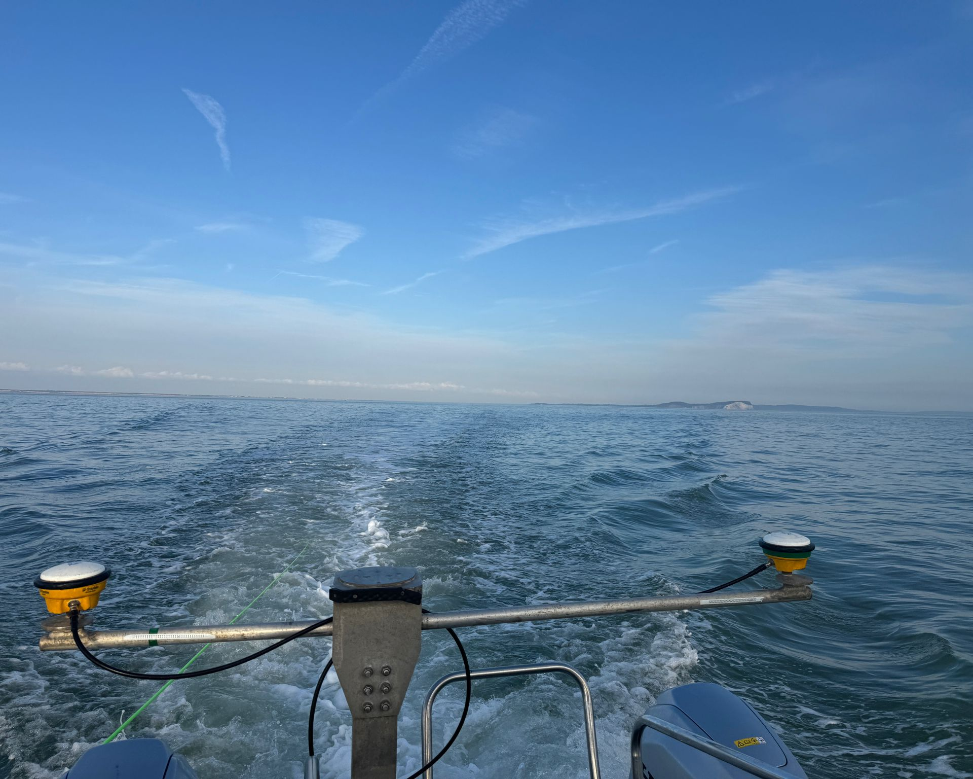
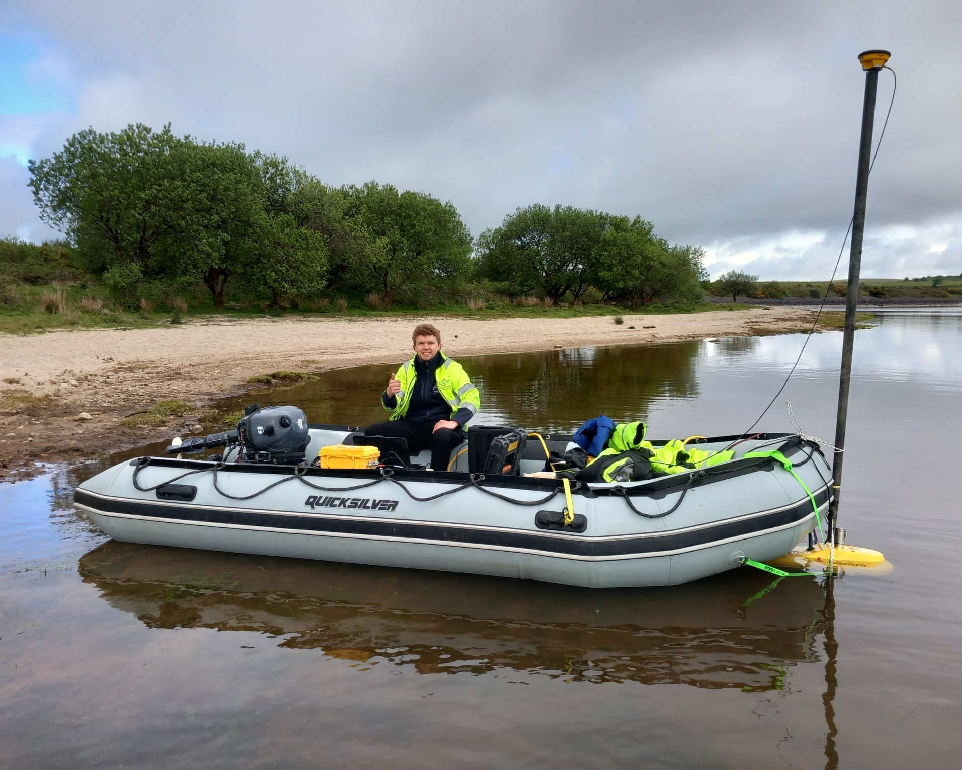
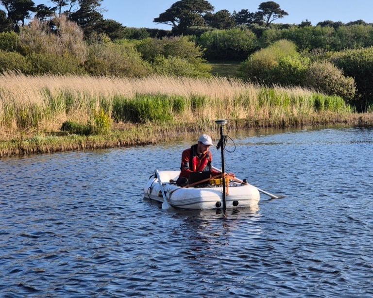
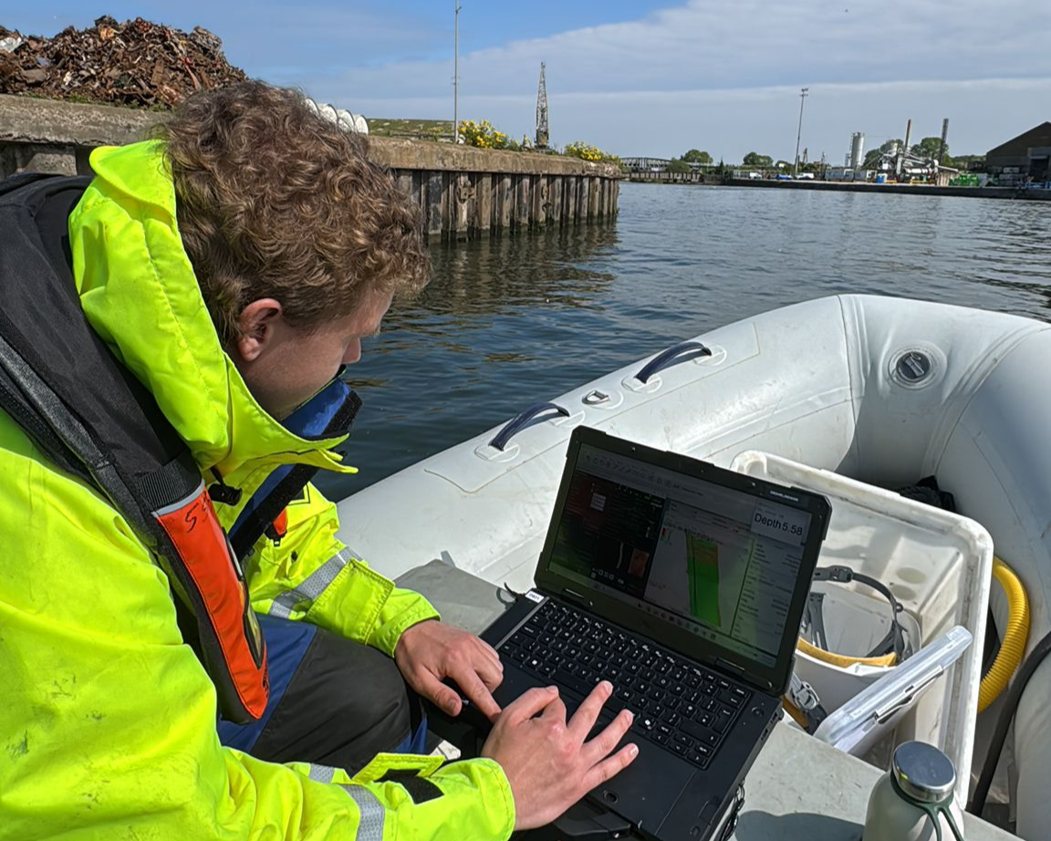
Shoreline has developed a bespoke sensor mounting system that allows us to push multibeam operations into shallow, restricted, and hard-to-access locations that most survey vessels simply cannot reach. Combined with our shallow-draught vessels and decades of inshore experience, we regularly deliver multibeam surveys in environments where others can’t mobilise. Whether you need a pre-dredge baseline, a post-works verification survey, or an ongoing monitoring program, our multibeam capability is ready to deploy at short notice across the UK.
Single Beam Surveys
Single beam bathymetry records depth soundings along defined vessel transects and remains a highly effective, cost-efficient solution for a wide range of survey applications. Where full multibeam coverage is not required – or where extremely shallow water makes swath sounding impractical – single beam provides reliable, accurate depth data at a lower mobilisation cost.
We continue to use our single beam system regularly, particularly for routine monitoring program, reconnaissance surveys, and projects where clients need straightforward seabed level data without the overhead of full multibeam processing. Ideal for water utilities, local authorities, inland waterway managers, and marina operators running scheduled condition assessments.

Side Scan Sonar
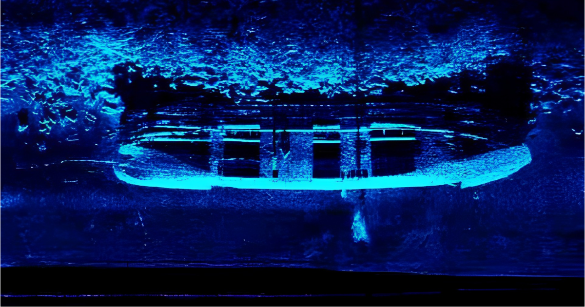
Side-scan sonar produces high-resolution acoustic imagery of the seabed across wide survey corridors, revealing obstructions, debris fields, scour features, sediment texture, and seabed composition that multibeam sounding alone cannot characterise. It is an essential tool for obstruction detection, navigation safety assessment, pre-construction site investigation, and seabed classification surveys.
We deploy side-scan sonar on approximately 25% of our projects, most commonly to supplement multibeam data collection and provide comprehensive navigational clearance intelligence. We also use it for seabed classification, cable and pipeline corridor assessment, and targeted search surveys for lost anchors, chains, and submerged assets. Regularly specified by port authorities, marine contractors, utilities, and environmental consultancies.
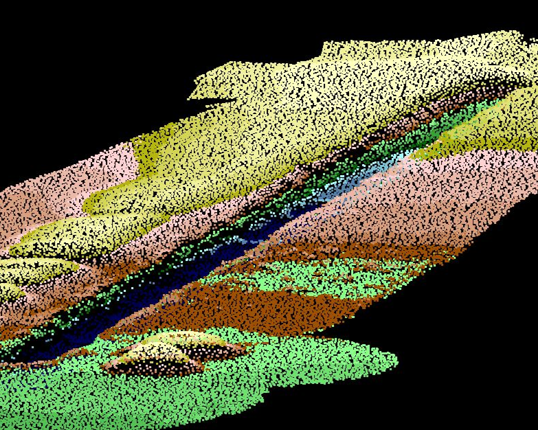
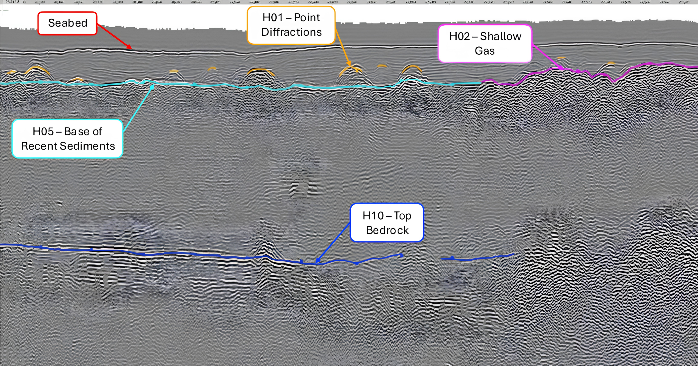
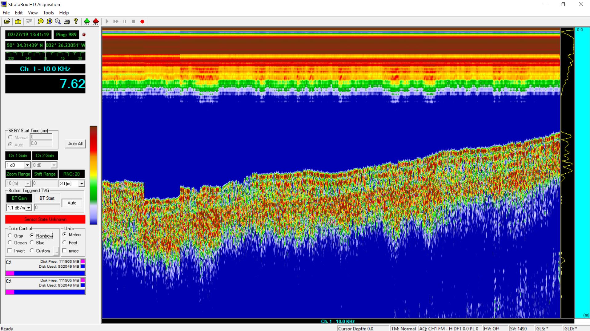
Sub-bottom profiling uses acoustic energy to penetrate the seabed and image the sediment layers and geological stratigraphy beneath – providing clients with a clear picture of subsurface conditions before marine works begin. Systems including pingers and boomers are deployed depending on the depth of investigation required and the nature of the survey environment.
We also operate a portable Stratabox shallow geophysical system, which has proven highly effective in inshore harbours, inland reservoirs, and lakes where traditional sub-bottom setups are impractical or cost-prohibitive. Sub-bottom profiling is a critical input for dredge feasibility assessments, cable route planning, geotechnical investigations, and UXO risk screening – and is regularly commissioned by dredging contractors, marine engineers, energy developers, and geotechnical consultancies.
Geophysical Surveys
A full geophysical survey campaign integrates sub-bottom profiling, side-scan sonar, and magnetometer data into a single, comprehensive seabed investigation – providing clients with a multi-layered understanding of the seabed surface, subsurface stratigraphy, and the presence of buried metallic objects or infrastructure.
Geophysical survey data underpins a wide range of marine projects: from aggregate resource assessment and UXO risk characterisation to cable route surveys, pre-dredge investigation, and environmental impact baseline studies. We tailor the instrument configuration to the specific requirements of each project, delivering integrated datasets with clear, professional reporting suited to engineering, regulatory, and planning purposes. Commissioned by offshore developers, infrastructure contractors, environmental consultancies, harbour authorities, and government agencies.
UAS LiDAR (Drone) Surveys
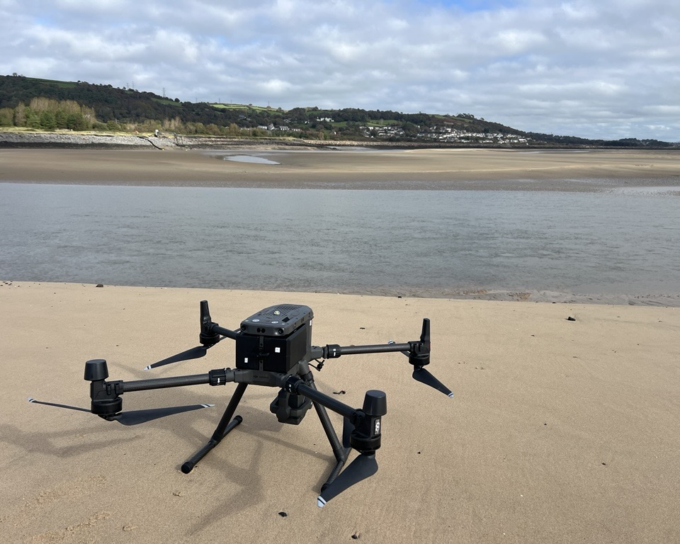
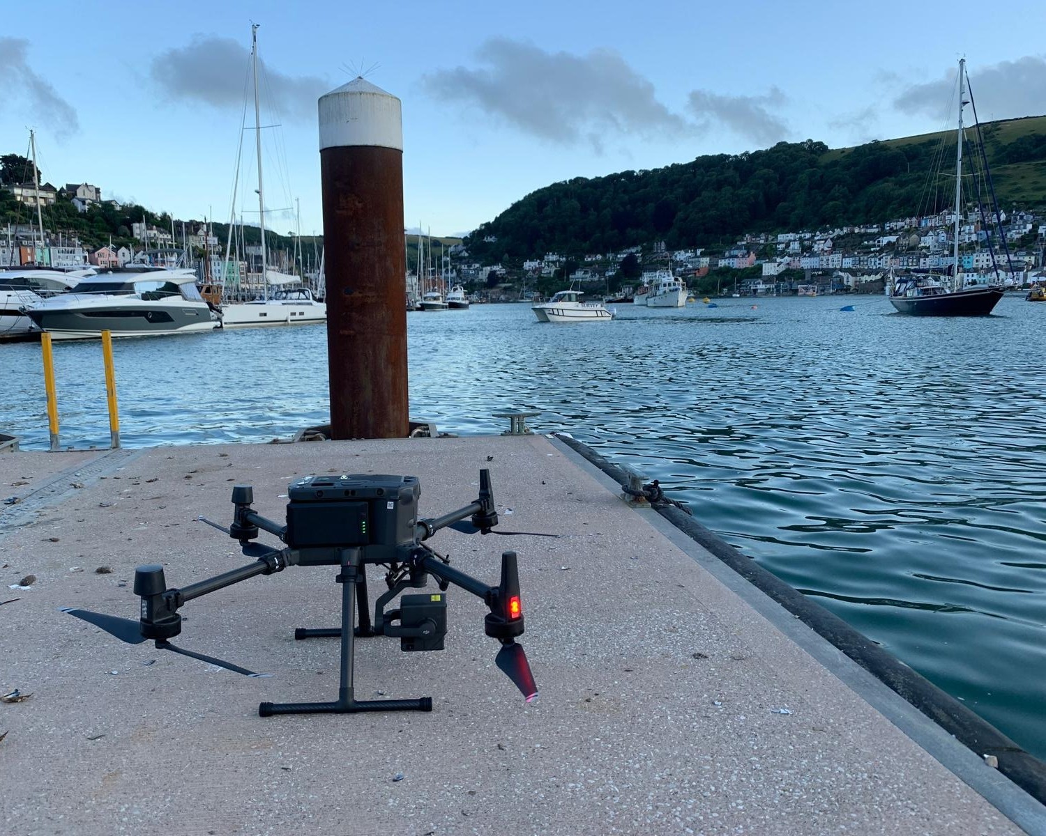
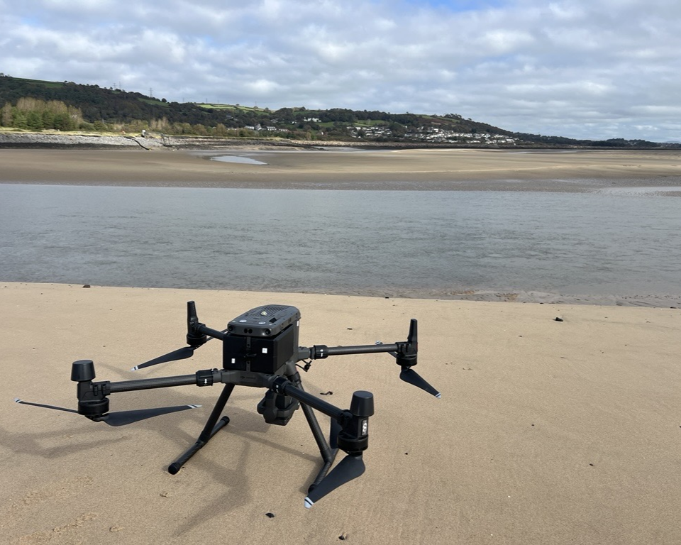
Since 2023, Shoreline has been deploying Unmanned Aerial Systems (UAS) to collect high-resolution LiDAR point cloud data and georeferenced photogrammetry across coastal, estuarial, and hard-to-access survey environments. UAS survey is a transformative capability – delivering accurate orthomosaics, digital elevation models, and volumetric data rapidly and cost-effectively, with minimal ground disturbance and no requirement for extensive site access.
Project types have included large-scale estuary and coastal mapping, saltmarsh surveys, breakwater condition monitoring, marina pontoon positioning, and harbour planning photogrammetry. UAS outputs integrate seamlessly with our hydrographic survey deliverables, providing clients with a complete above- and below-water spatial dataset from a single mobilisation. A highly practical solution for coastal engineers, flood risk consultants, local authorities, and asset managers.

Vessel Mounted LIDAR
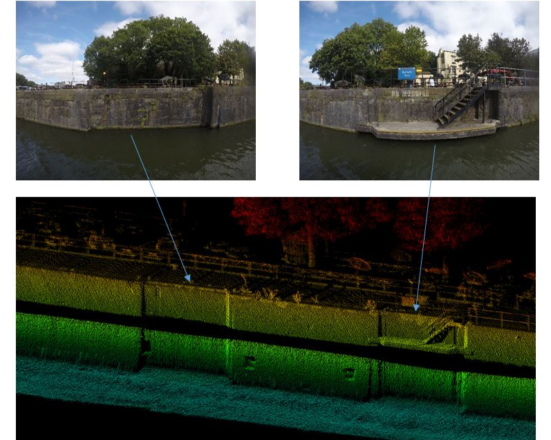
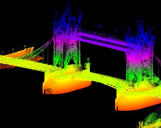
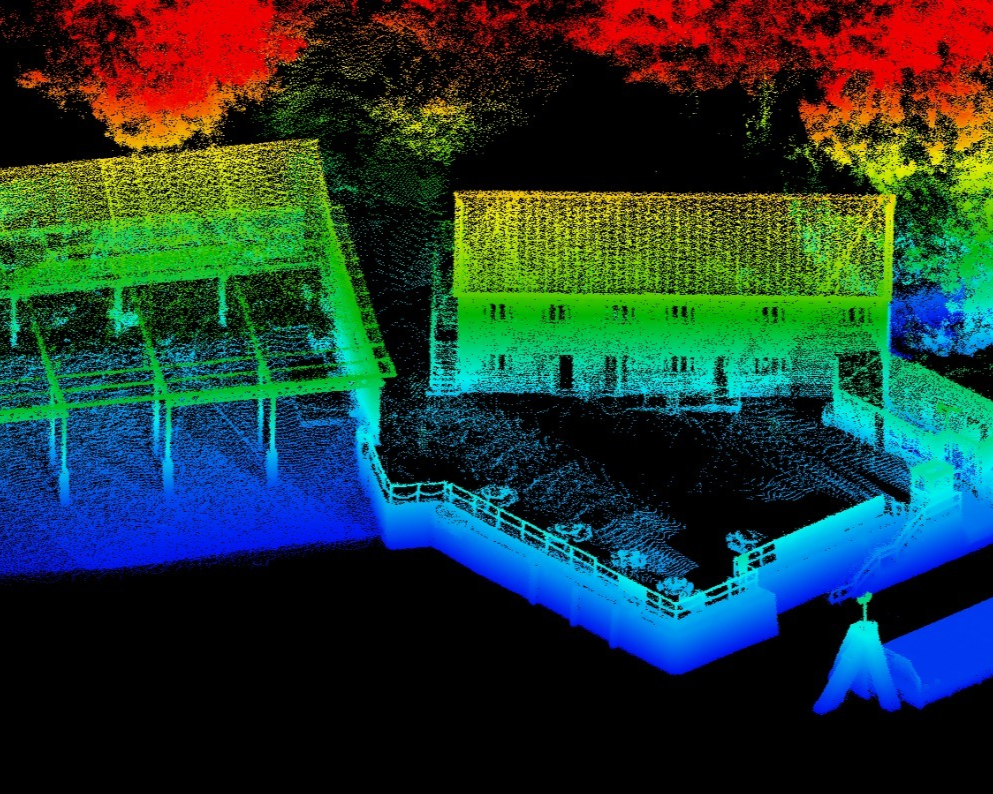
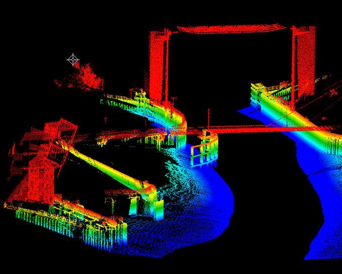
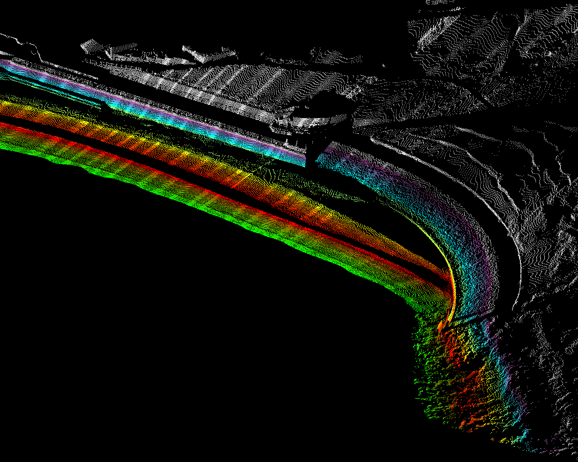
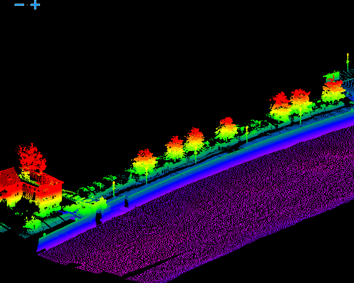
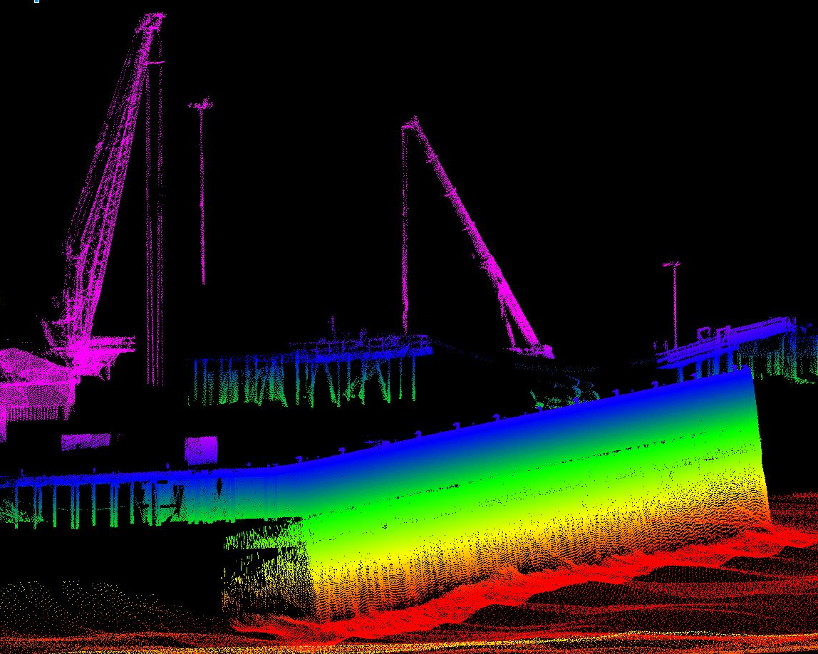
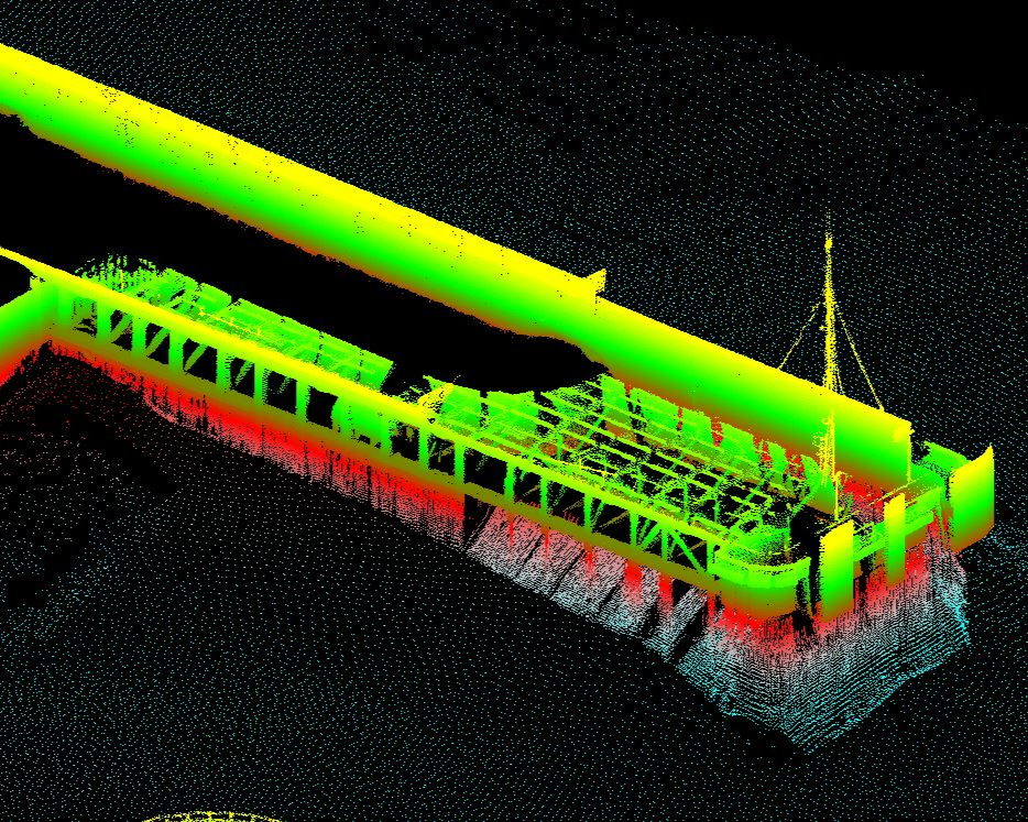
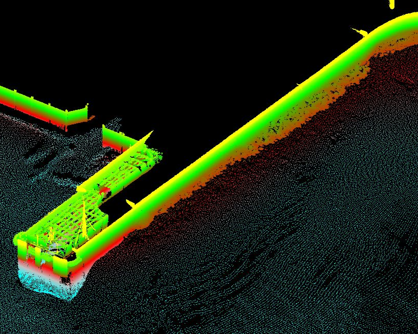
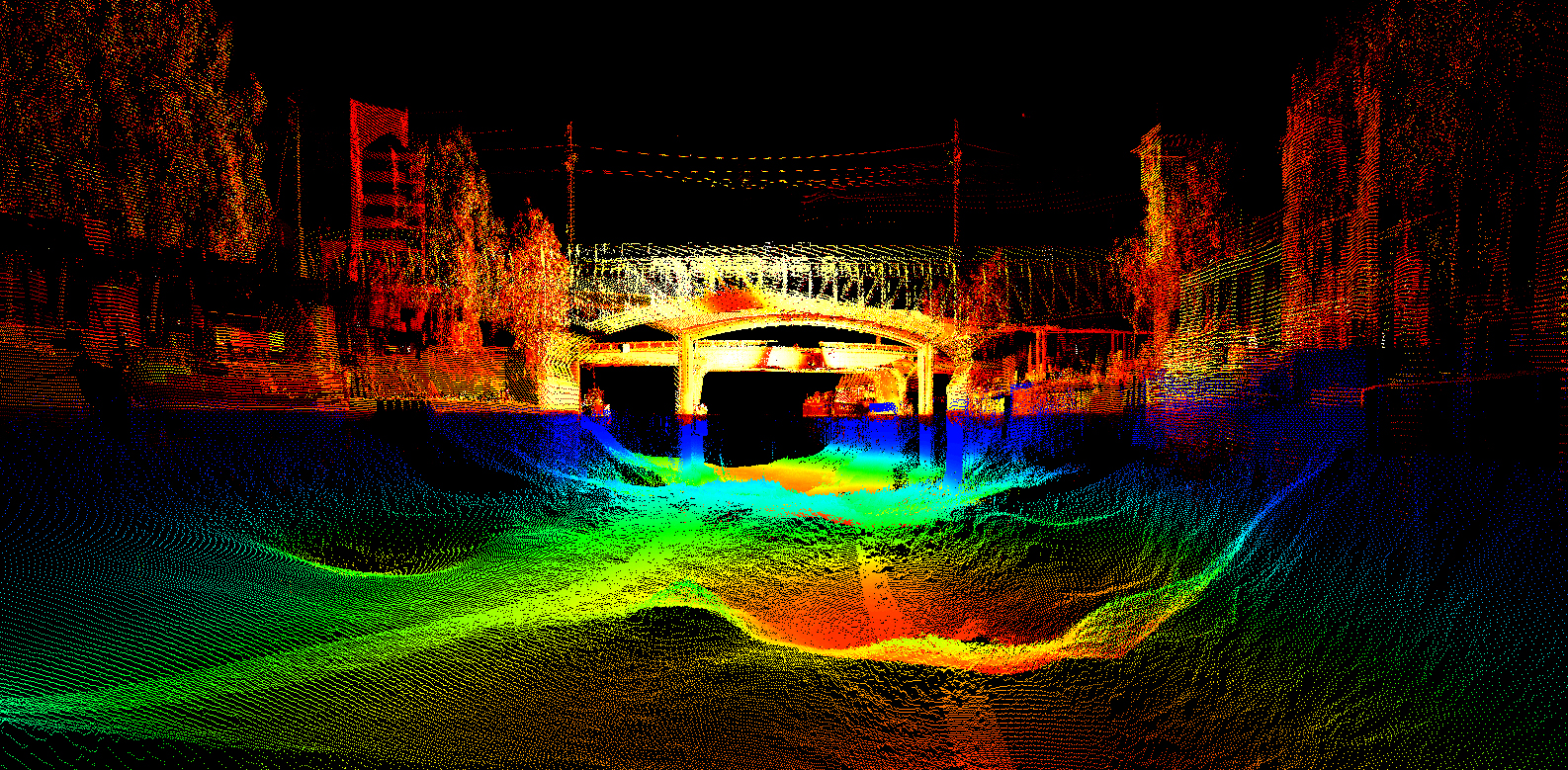
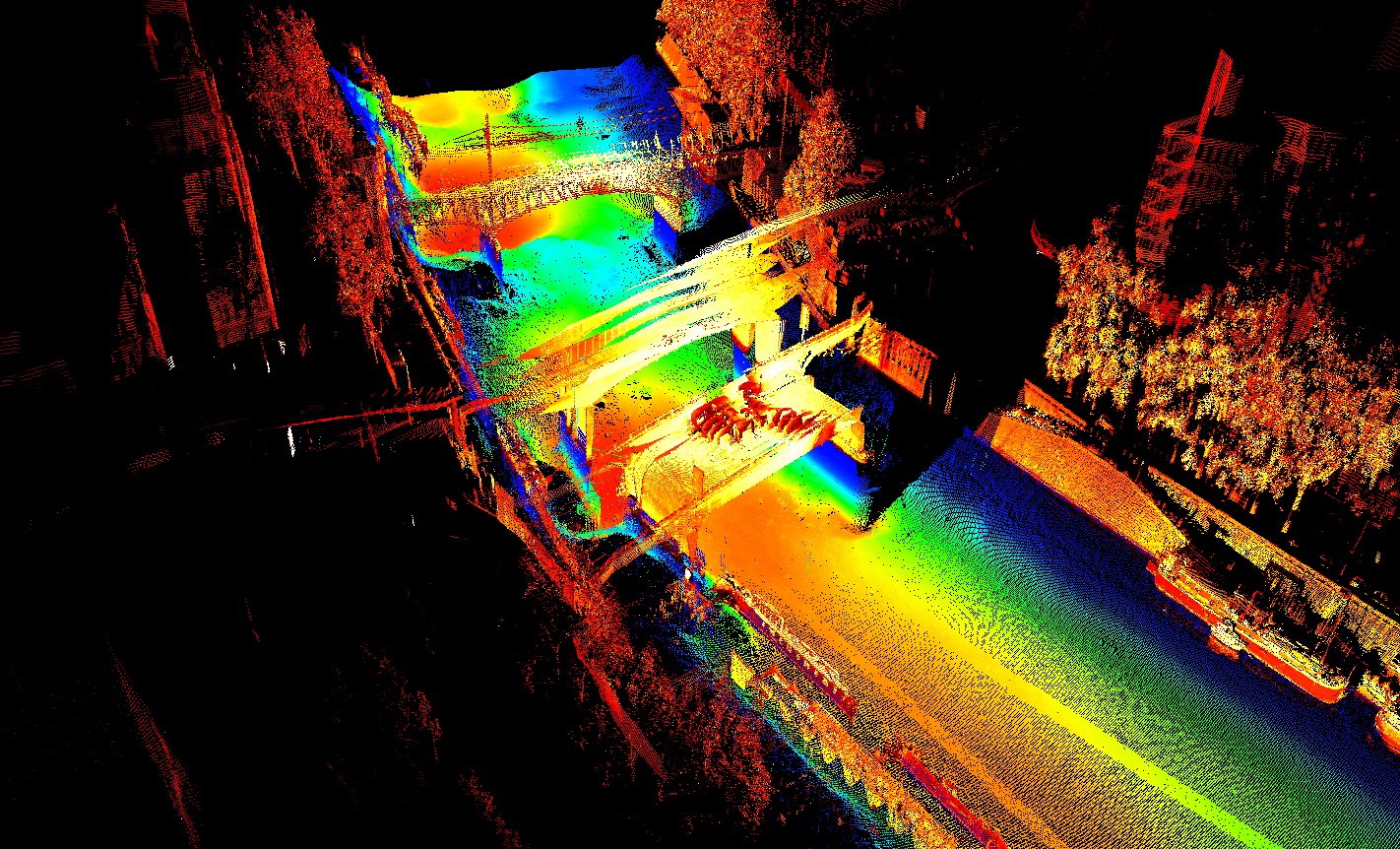
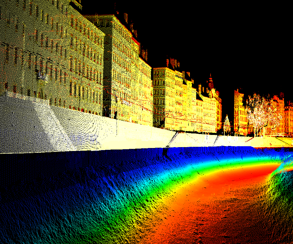
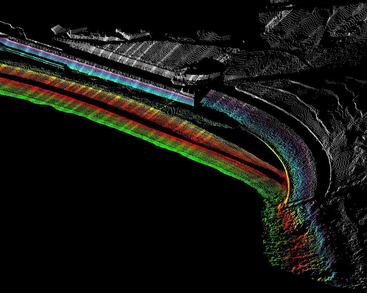
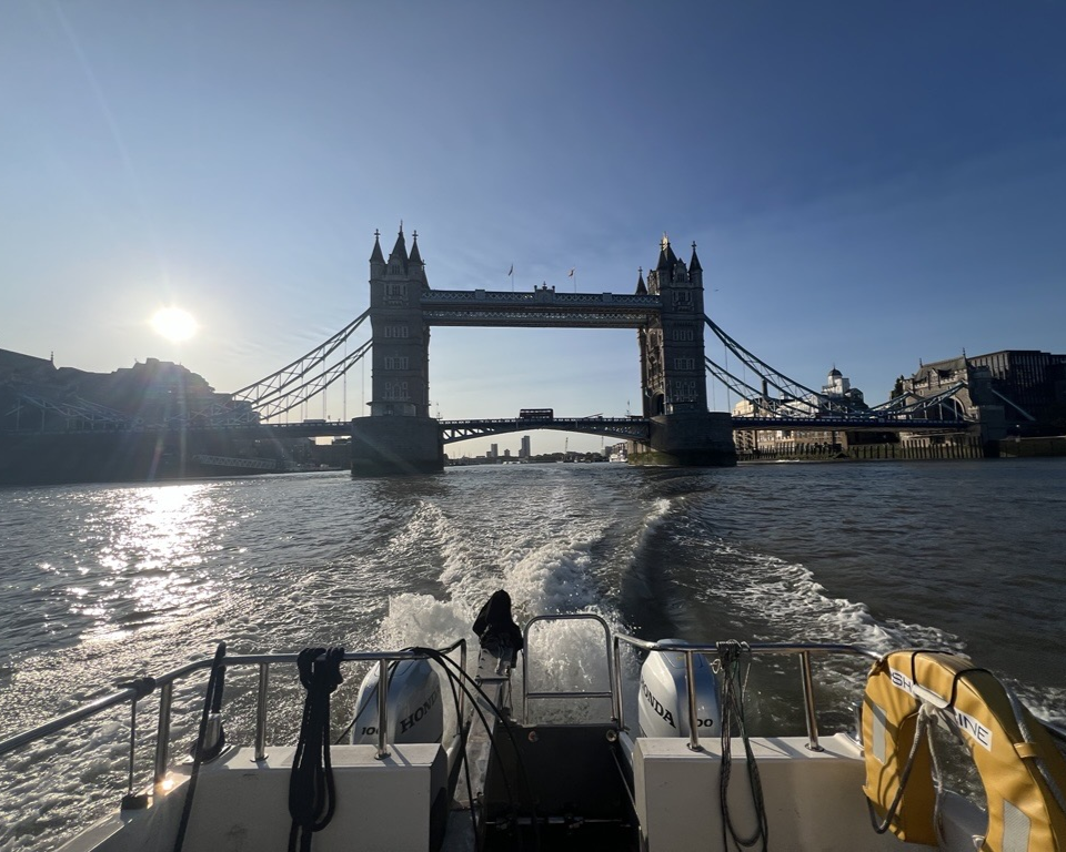
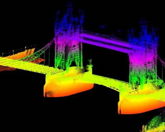
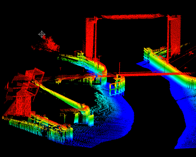
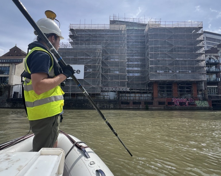
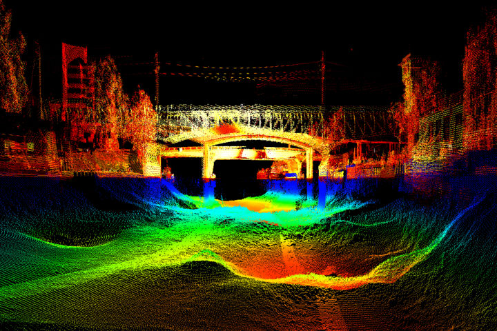
Our vessel-mounted LiDAR system captures high-density, georeferenced point cloud data of coastal structures, cliff faces, foreshore topography, pier soffits, quay walls, and intertidal features, all from a stable waterborne platform operating safely alongside or beneath structures that ground-based survey cannot access.
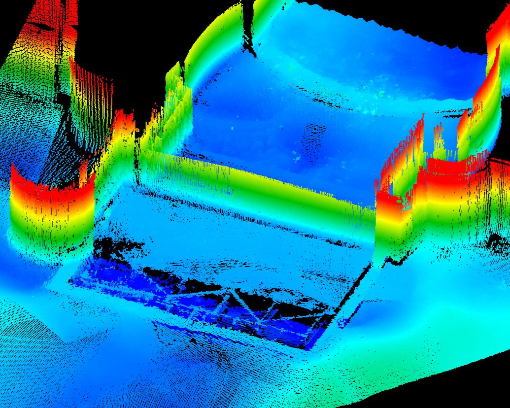
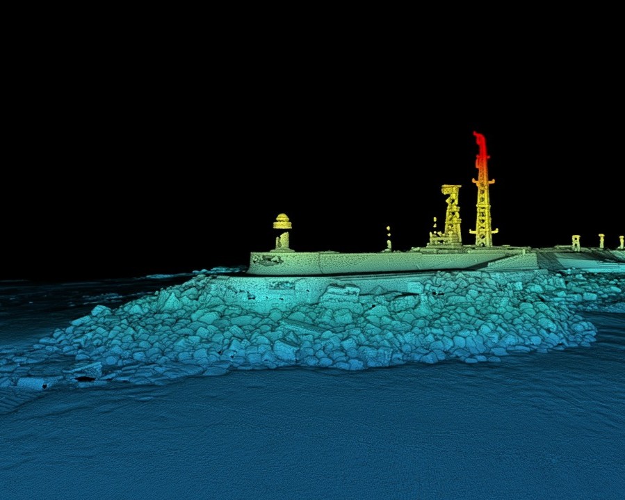
A particular strength of this capability is its seamless integration with multibeam bathymetry: by combining vessel-mounted LiDAR for above-water coverage with multibeam for below-water data, we can produce a continuous, unified 3D model of a quayside, seawall, or coastal structure from seabed to coping level. This combined dataset is increasingly specified for coastal flood risk assessment, infrastructure management, and port and harbour condition surveys.
Coastal & Nearshore Surveys
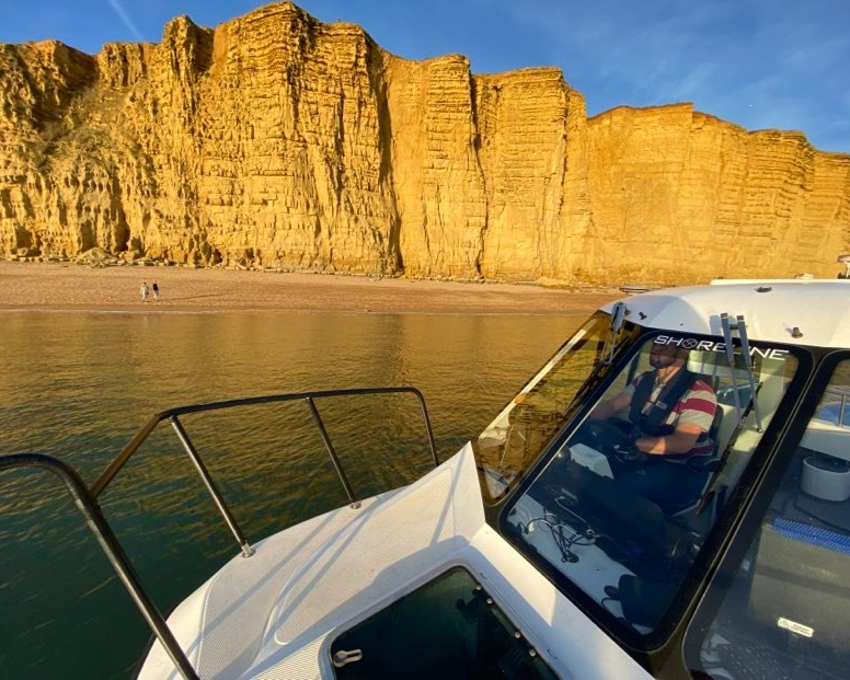
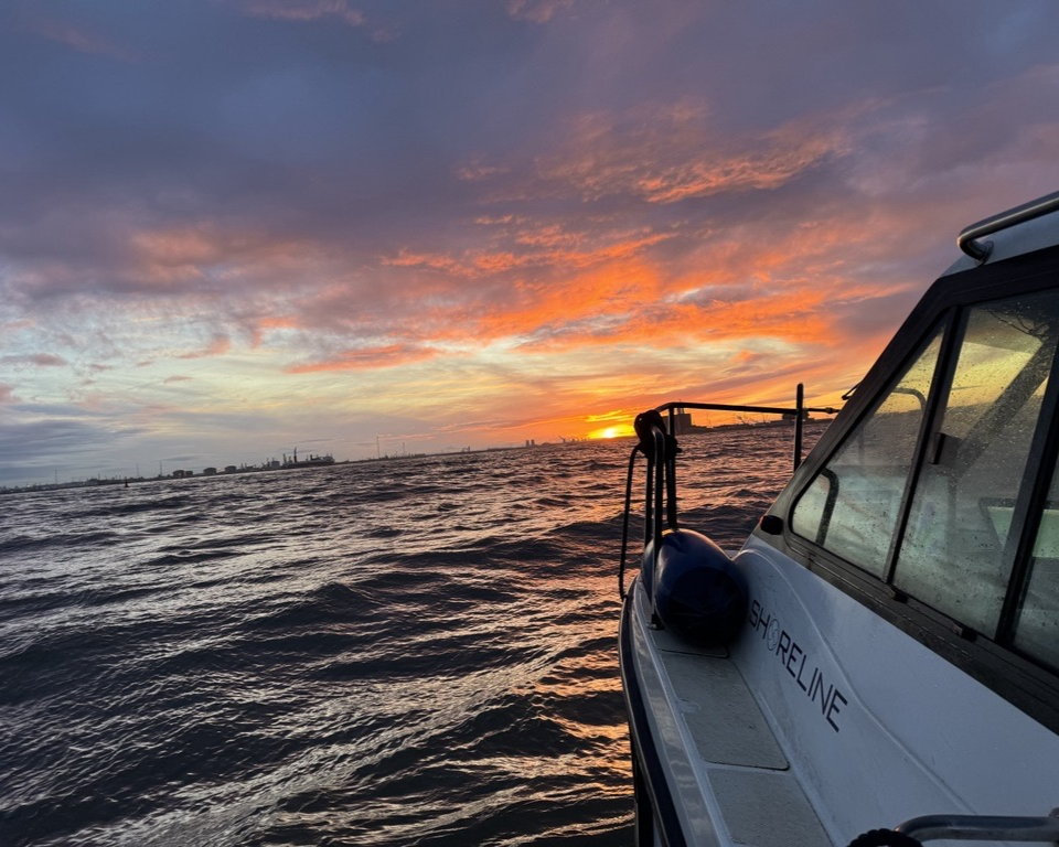
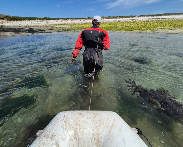
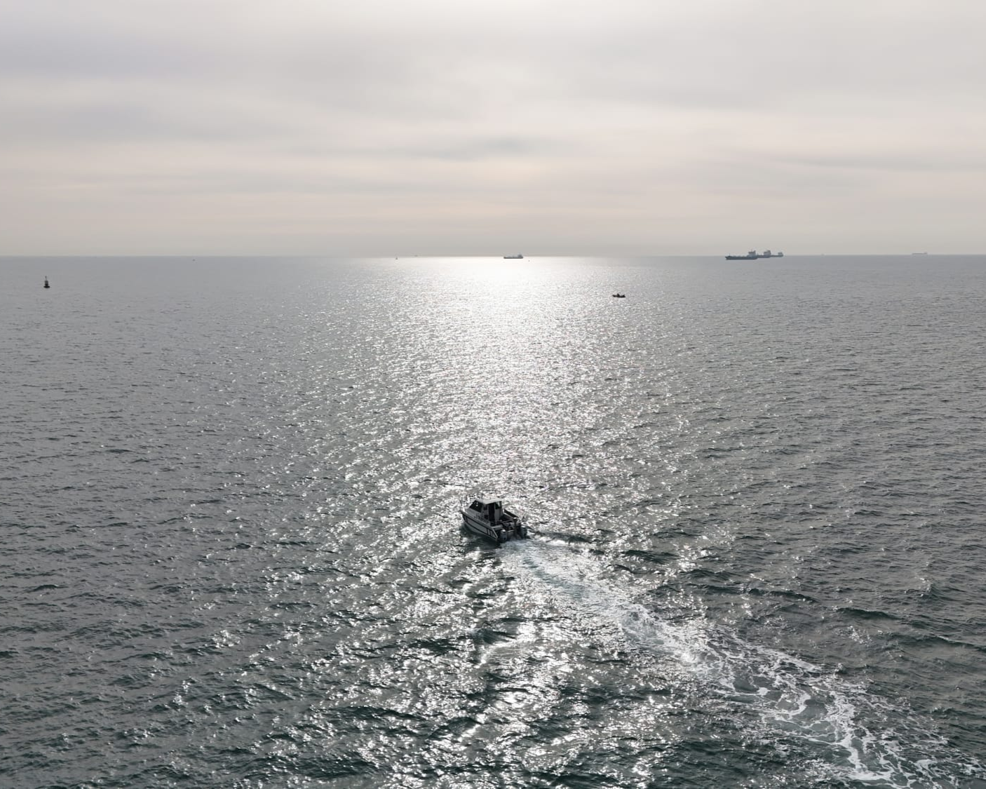
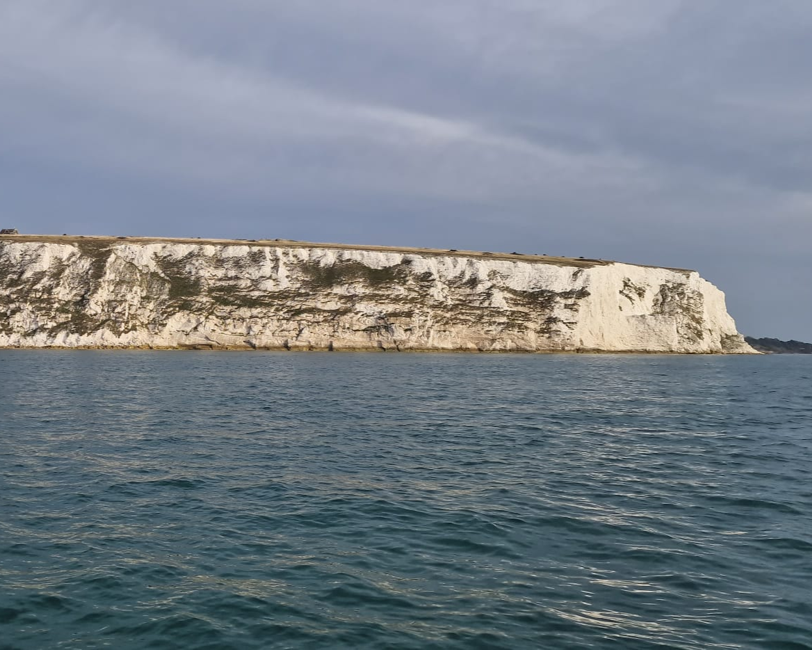
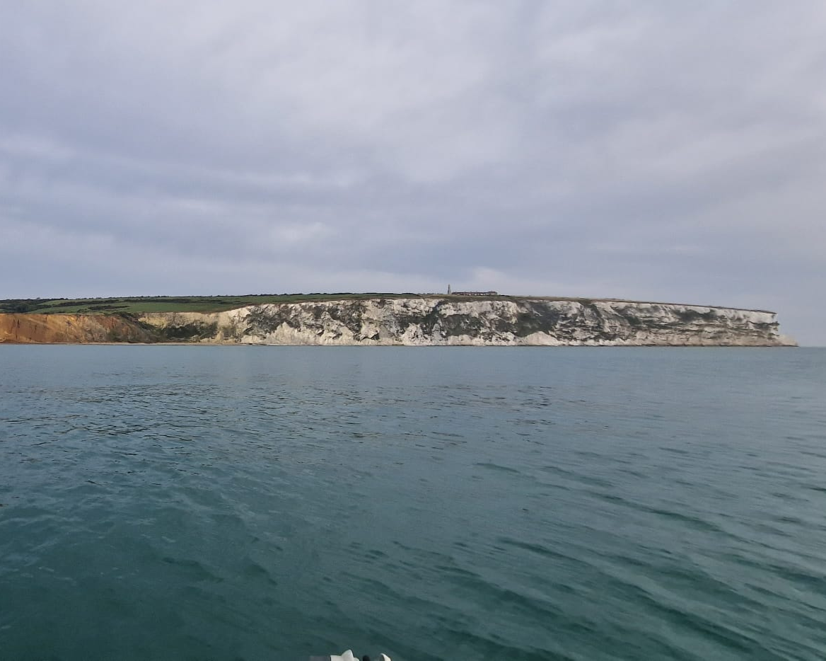
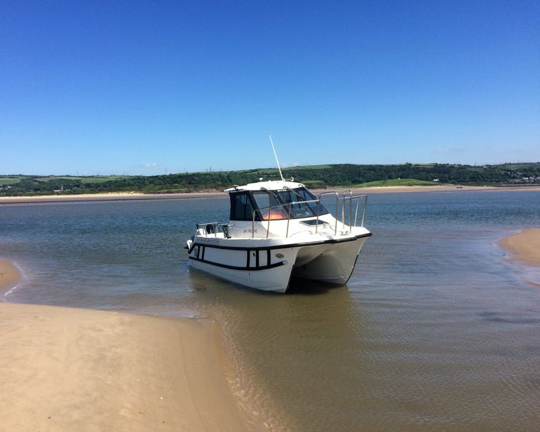
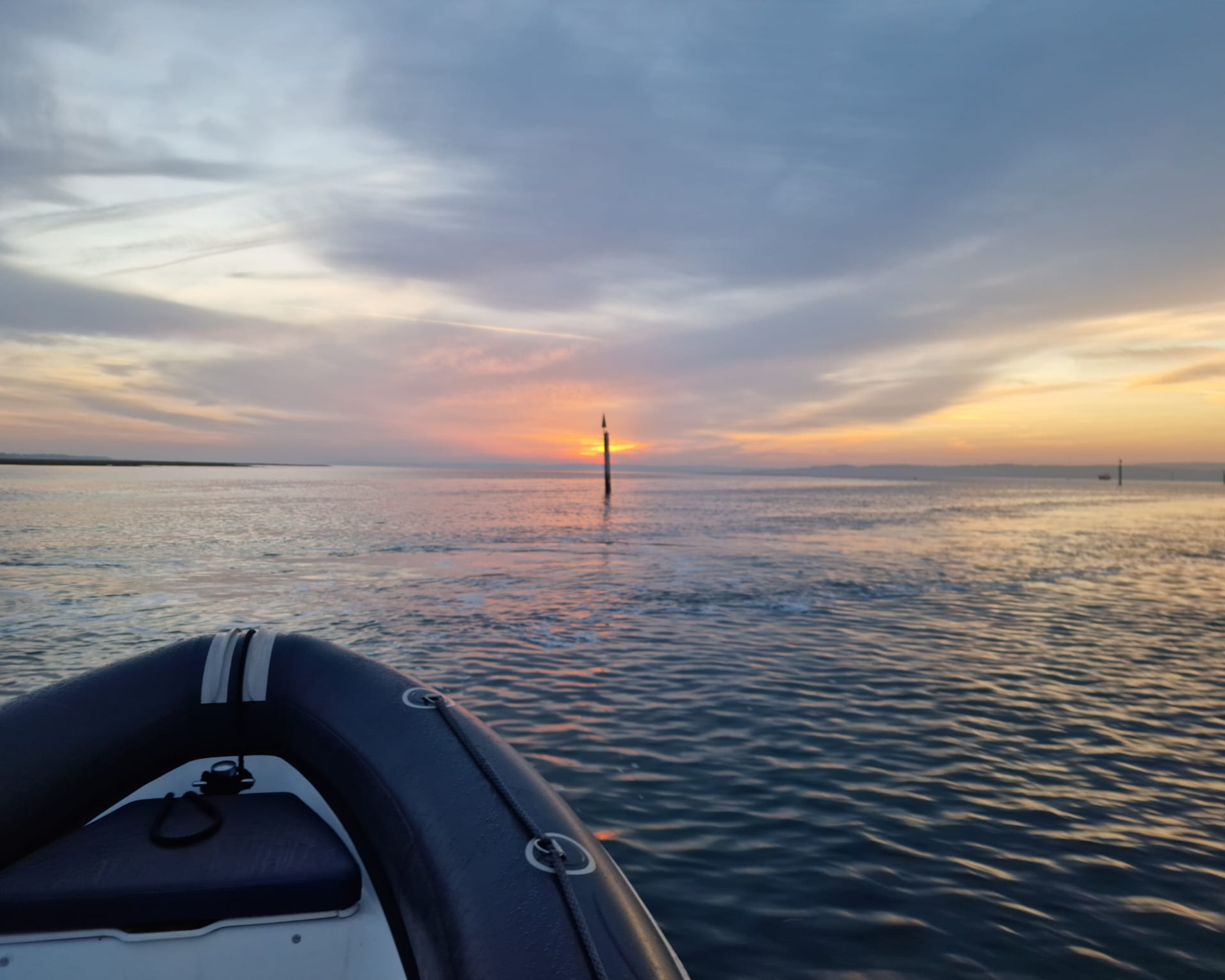
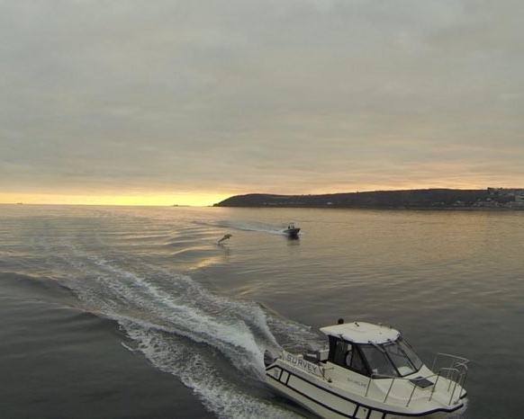
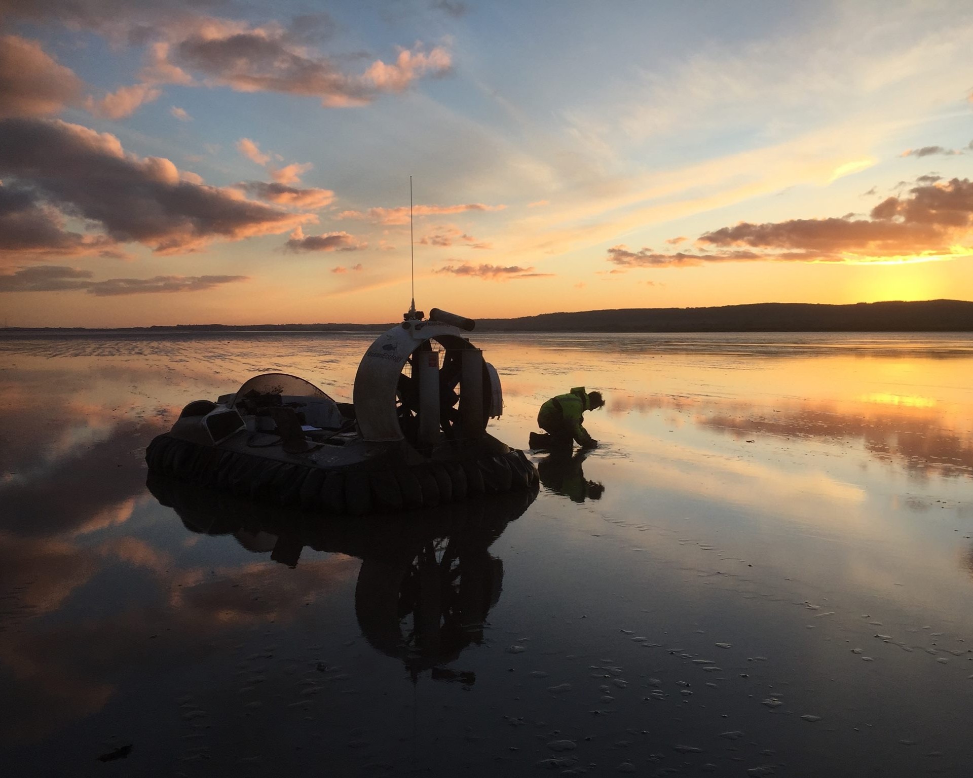
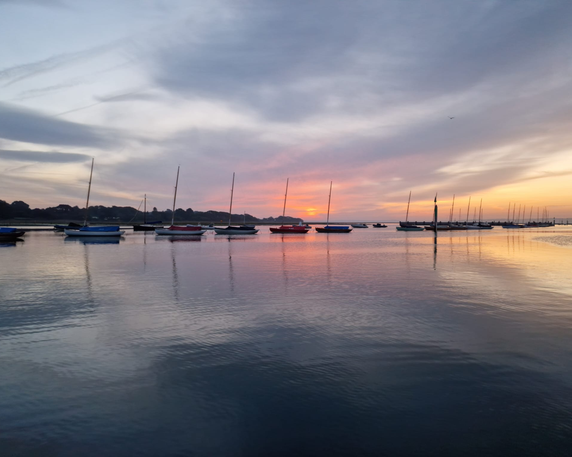
The coastal and nearshore zone – tidal, shallow, energetic, and often inaccessible to larger vessels – is one of the most technically demanding environments in which to conduct survey work. It is also where Shoreline has been operating for over 25 years. Our shallow-draught vessels, bespoke sensor mounting systems, and experienced inshore teams give us a genuine capability advantage in this environment.
We deliver integrated coastal survey programmes combining bathymetry, LiDAR, geophysical, and UAS data to support coastal management strategies, shoreline monitoring, flood and erosion risk assessment, and marine planning applications. Clients include local authorities, coastal engineers, the Environment Agency, Natural England, and consultancies working on nationally significant coastal infrastructure and habitat projects.
Rivers, Reservoirs & Inland Waterways
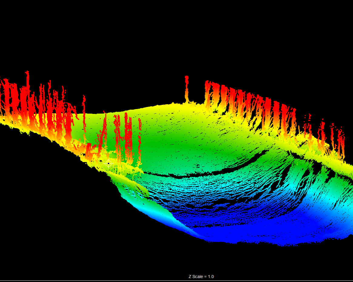
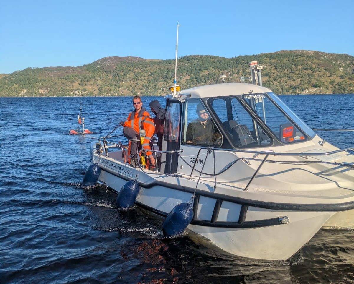
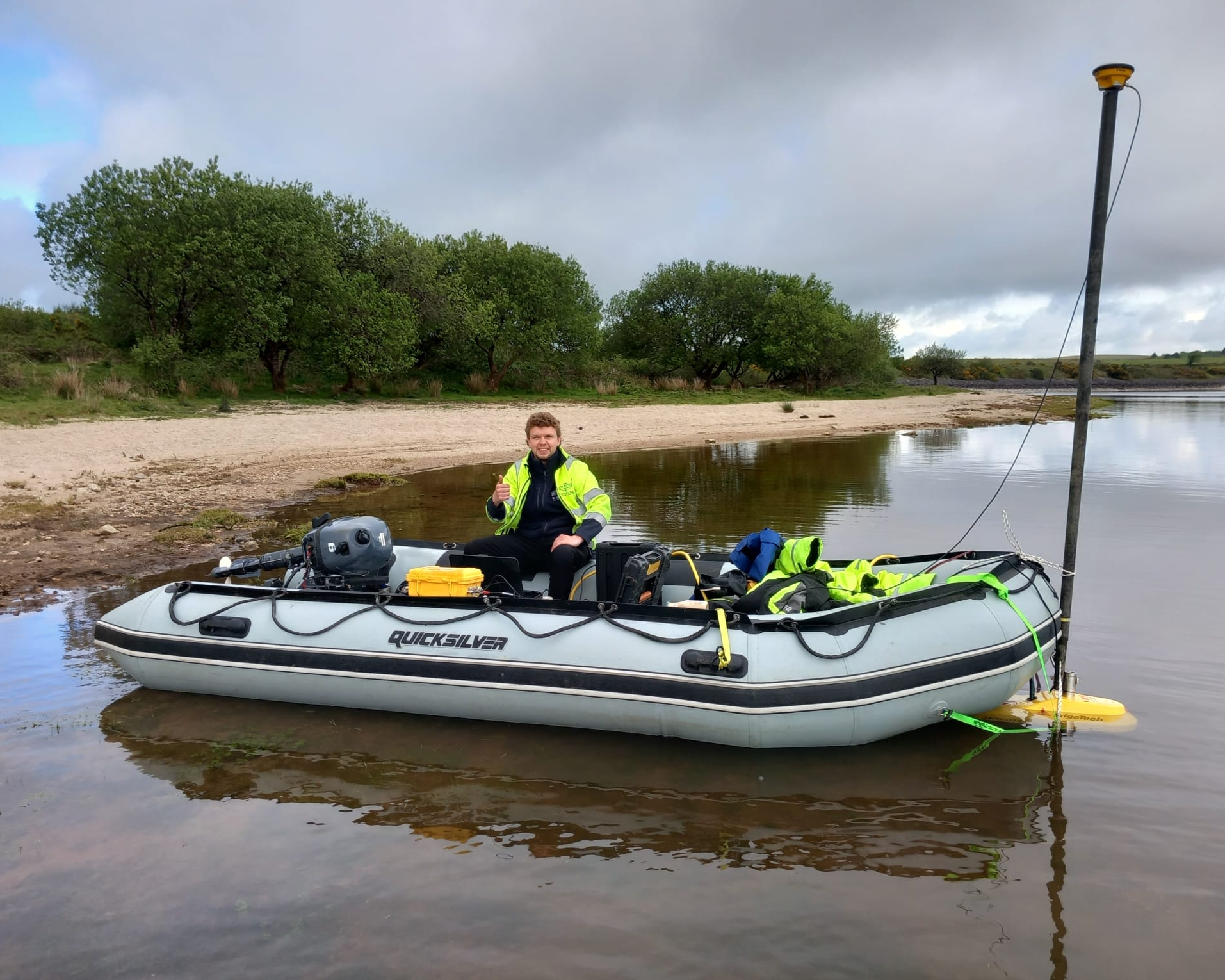
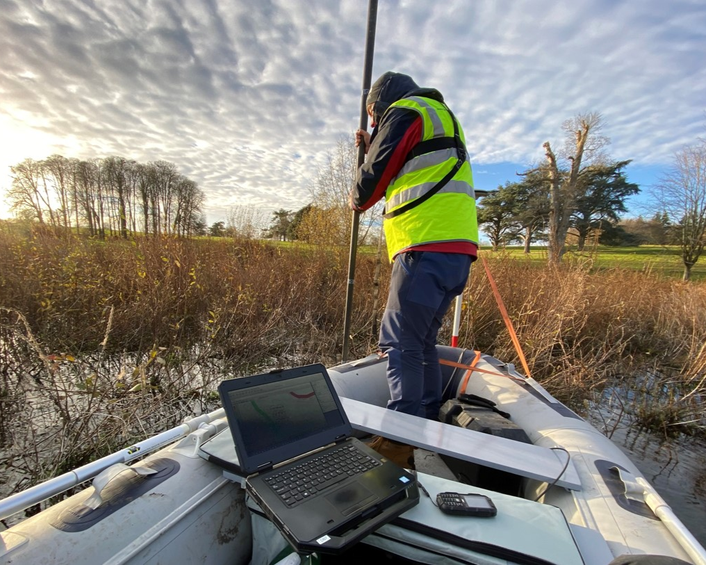
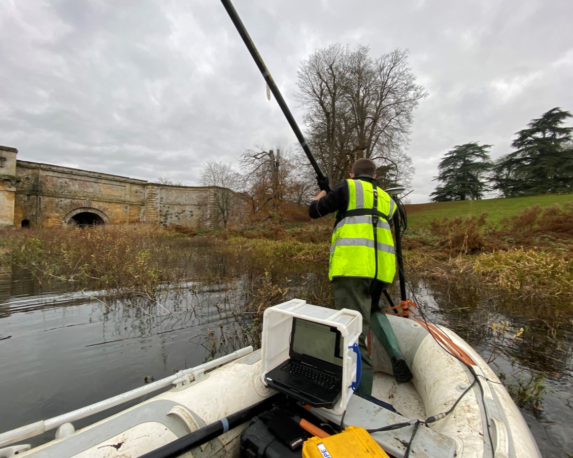
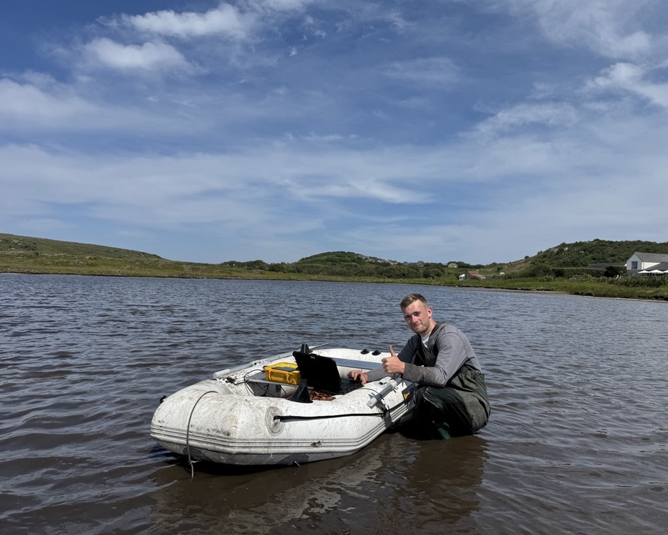
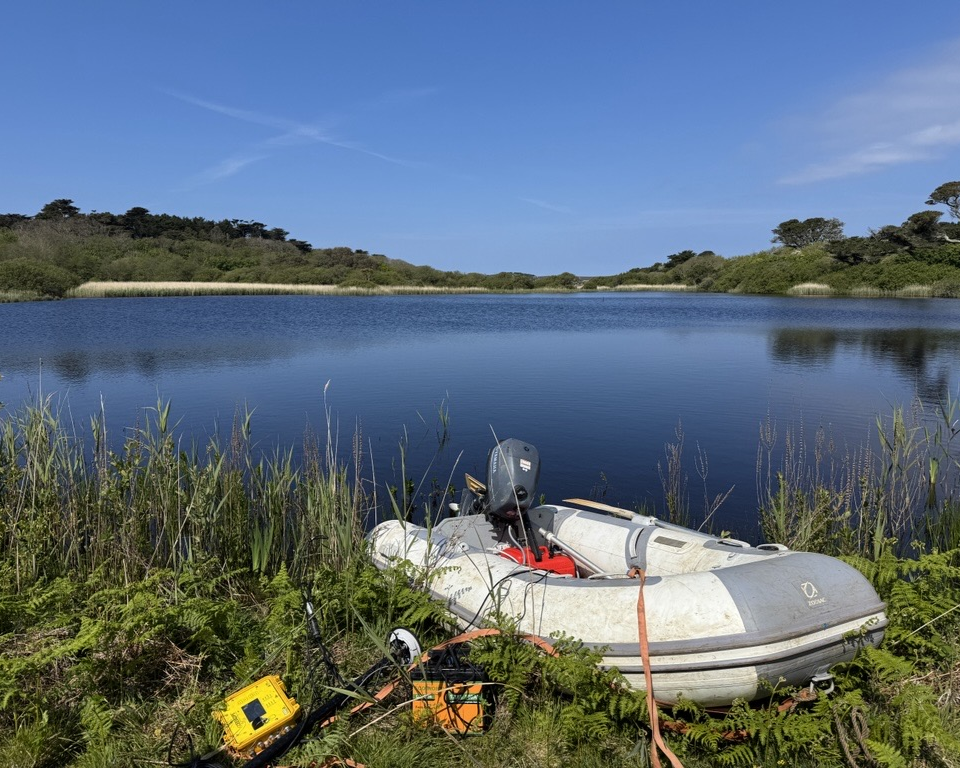
From upland reservoir to tidal river estuary, Shoreline delivers hydrographic surveys across the full range of inland and transitional water environments. Our capability spans single beam and multibeam bathymetry, sub-bottom profiling, and UAS survey – producing the depth data, channel geometry, and sediment intelligence that flood risk engineers, asset managers, and infrastructure owners depend on.
We work to the standards required by the Environment Agency, water utilities, and canal and river authorities, delivering outputs compatible with hydraulic modelling platforms and GIS environments. Whether the requirement is a one-off reservoir condition survey, a river cross-section programme for flood modelling, or an ongoing monitoring framework for a managed waterway, we have the experience and equipment to deliver. Regularly commissioned by water companies, the Environment Agency, local authorities, civil engineering contractors, and the Canal & River Trust.
Ports, Harbours & Marinas
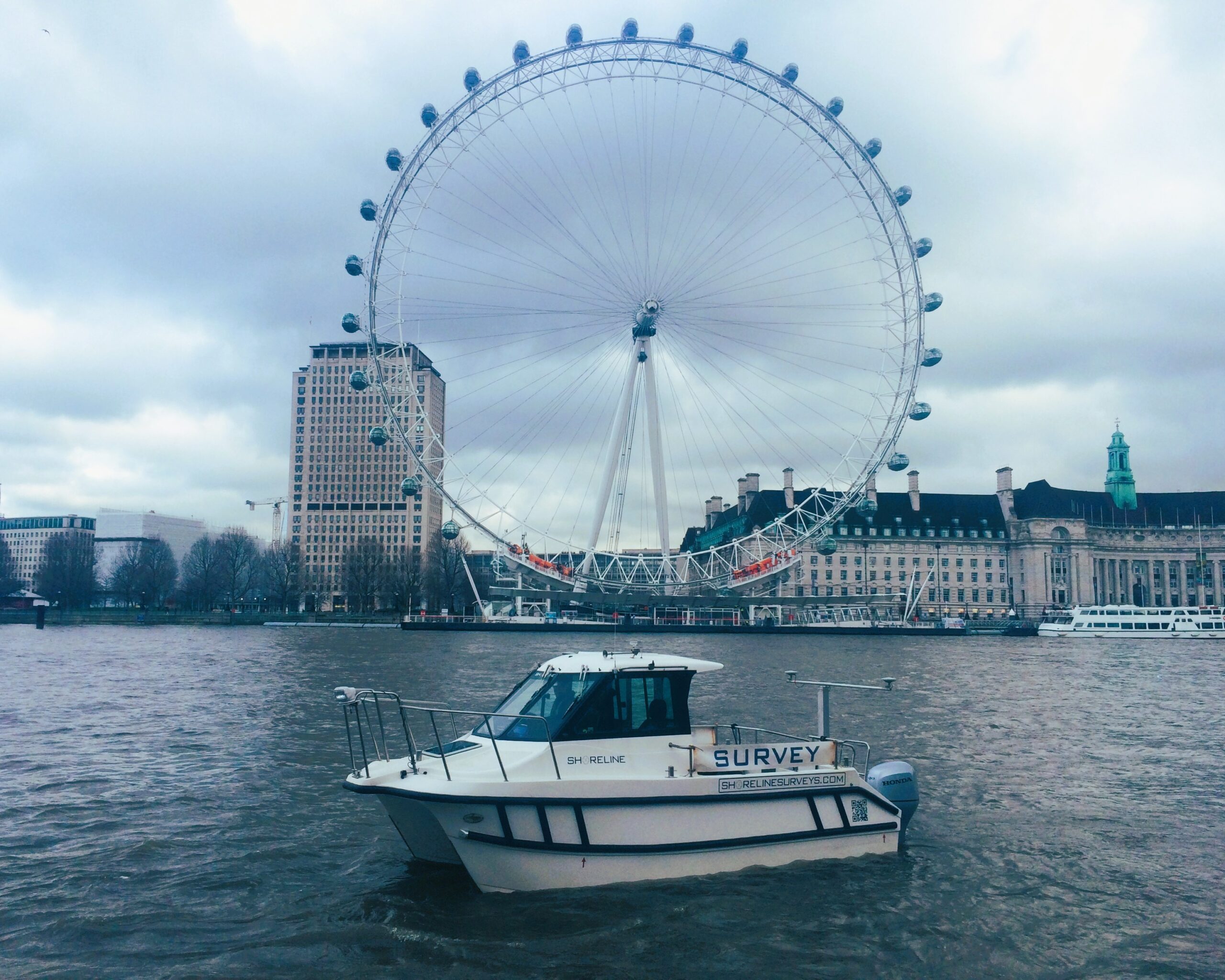
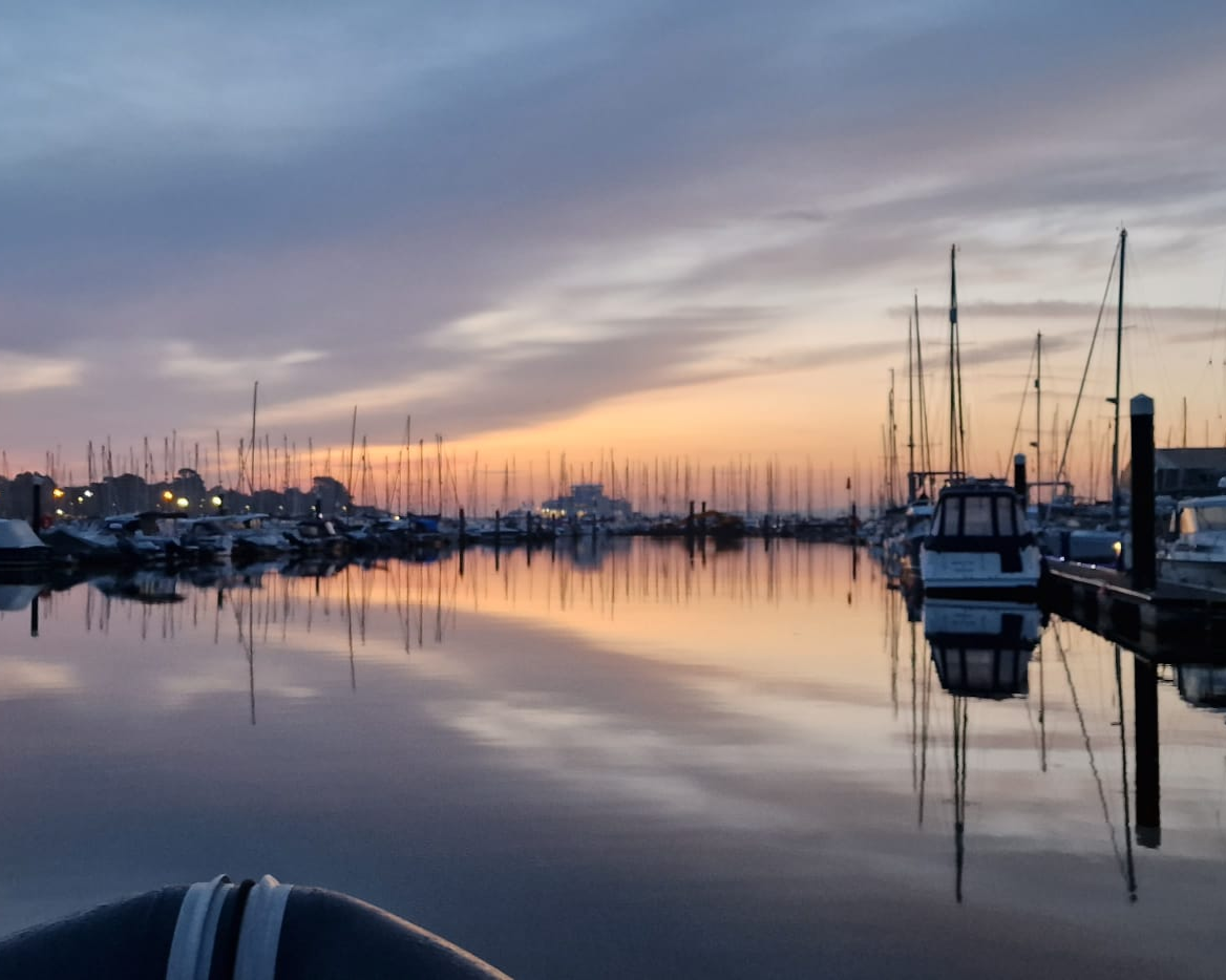
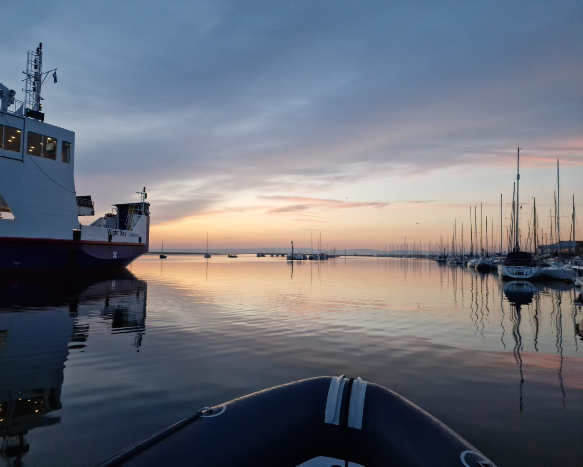
Ports, harbours, and marinas are among the most demanding hydrographic survey environments – restricted access, heavy vessel traffic, tidal constraints, and the ever-present need for navigational safety data. Shoreline has extensive experience working in commercial port and leisure marina environments, and our bespoke shallow-draught multibeam setup is specifically suited to the confined, cluttered conditions these sites present.
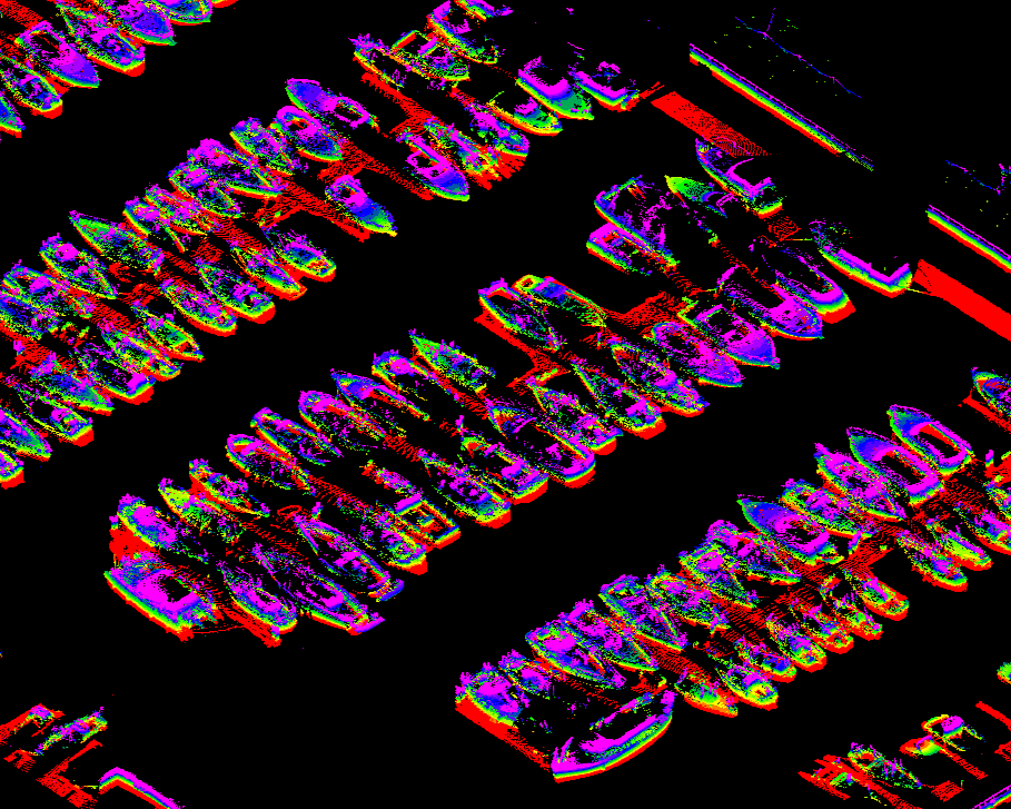
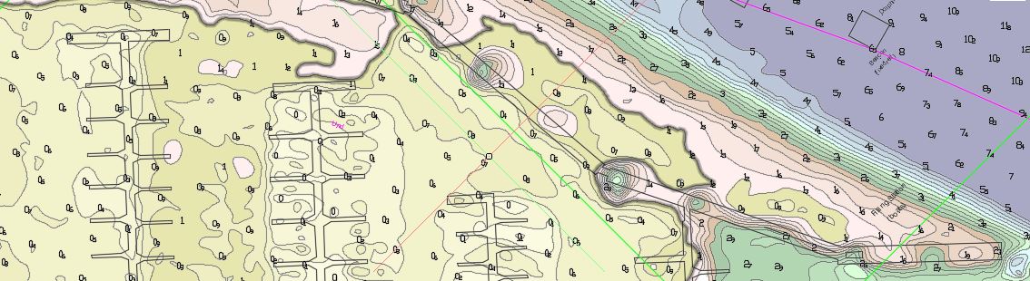
Our services for the ports and marinas sector include pre- and post-dredge bathymetric surveys, dredge licence support, quay wall and structure surveys (combined LiDAR and multibeam), berthing assessment, scour monitoring, and planned maintenance monitoring programmes. We have surveyed marinas for some of the UK’s largest marina operators, with our system delivering full coverage beneath moored vessels and pontoons without the need to move vessels or dismantle infrastructure – minimising disruption to marina operations while maximising data quality.
Product Benefits
- Near 100% Coverage
- Coverage beneath moored vessels & pontoons
- Comprehensive mapping of mounds, scour holes & other small scale features
- Enhanced data providing greater accuracy for volume calculations & residual comparisons
- No need to move vessels or dismantle pontoons
- Minimal interruption or disruption to marina traffic
- Removes seasonal dependencies for surveys
Product Features
- 0.9 x 0.9 degree beam width
- 150 degree swath
- Selectable frequency (200-460khz)
- Water column, back scatter, side scan & snippets*
- High accuracy integrated Applanix POSMV WaveMaster 2
- Rapid mobilisation
Safety Boat Services & Vessel Charter
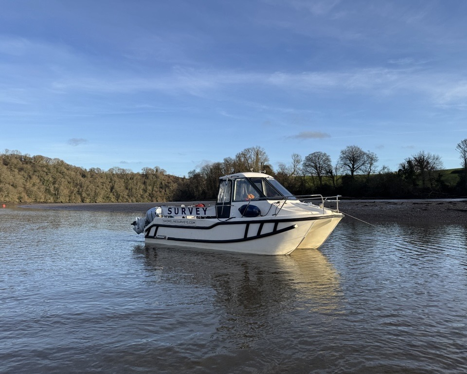
In addition to our survey operations, Shoreline Surveys offers MCA coded workboat provision for marine projects, events, and operations requiring dedicated safety boat cover. Vessels are available with or without skipper and crew, road–trailered for rapid deployment anywhere in the UK.
We also offer survey vessel charter for clients who need a capable, well–equipped platform for their own teams. To discuss your workboat or charter requirement, get in touch directly.
Data Analysis
Raw survey data only delivers value when it has been rigorously processed, quality-assured, and presented in a format that clients can actually use. As a supplementary service to our survey operations, Shoreline provides in-house data analysis covering trend analysis, change detection, cross-sections, and volume calculations – giving clients the measured, visual comparisons they need to make informed decisions about dredging, maintenance, and asset management.
Our processing team works with the full range of datasets we collect – bathymetric, geophysical, LiDAR, and UAS – producing clean, validated outputs accompanied by clear professional reporting. Whether you need a simple before-and-after seabed comparison, a volumetric dredge assessment, or a time-series analysis of sediment change across a monitored site, we can deliver it in the format your engineers, planners, projects teams or regulators require. All outputs are compatible with standard GIS platforms and hydraulic modelling environments, and we are happy to work to client-specified formats and reporting templates where required.
EXPLORE OUR PROJECTS
We Deliver Landmark Projects
With over 3,000 projects completed since 1998, Shoreline Surveys has built a reputation for delivering clean, well-managed survey programmes from mobilisation through to final data delivery. We operate nationally from our South West base, working across ports and harbours, coastal and nearshore environments, inland waterways, and reservoirs – adapting our methods and equipment to the demands of each project.
Our team brings decades of hydrographic experience to every commission, backed by the resources and quality standards of Ocean Ecology & our parent company, DNV. Whether you need a one-off bathymetric survey or an ongoing monitoring program, we manage the process from start to finish – on time, to specification, and without fuss.